Wednesday, December 16, 2015
View the entire Google Web Album
*From the 1860s through the turn of the last century, five coal mining towns thrived in the Black Diamond area: Nortonville, Somersville, Stewartville, West Hartley and Judsonville. As the location of California’s largest coal mining operation, nearly four million tons of coal (“black diamonds”) were removed from the earth. The residents of the mining towns were from all over the world, and their life was characterized by hard work and long hours.
The East Bay Regional Park District began acquiring land for Black Diamond Mines Regional Preserve in the early 1970s. Today, most of the mining district is within the Preserve’s nearly 6,096 acres. The area is an ideal location for hiking, picnicking and nature study.
Hike around Black Diamond Mines Regional Preserve from the Visitors Center to Somerville Townsite, Rose Hill Cemetery, Jim’s Place and the Air Shaft. Return along the top of the ridge for a jaunt to the Hazel Atlas Portal before heading back on the Railroad Bed Trail to the parking lot.
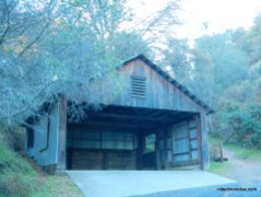
Begin at the Sidney Flat Visitor Center parking lot. *Behold remnants of the past and peruse the wonders of the park in a building original to the coal field. The Sidney Flat Visitor Center contains displays of photographs and artifacts from the 1800s and early 1900s and is open some weekdays; please call ahead before visiting.
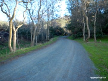
Head south along Markley Canyon on Railroad Bed Trail; the road runs parallel to Somersville Rd towards Somersville Townsite.
At the River Trail junction-go straight to stay on Railroad Bed Trail.
At the T junction with Stewartville Trail-turn right and enter through the cattle gate onto Stewartville Trail.
At the Nortonville Trail junction-turn left onto Nortonville at Somersville Townsite to the Hazel Atlas Portal junction. *In the 1920s underground mining for sand began near the deserted Nortonville and Somersville townsites. The Somersville mine supplied sand used in glass making by the Hazel-Atlas Glass Company in Oakland, while the Nortonville mine supplied the Columbia Steel Works with foundry (casting) sand. Competition from Belgian glass and the closing of the steel foundry ended the sand mining by 1949. Altogether, more than 1.8 million tons of sand had been mined.
Turn right to stay on Nortonville Trail; the trail heads westwards through the grove of Tree of Heaven introduced to the area by Chinese miners to remind them of their homeland.
At Manhatten Trail junction- go straight to stay on Nortonville Trail; the broad fire trail climbs up on a moderate grade to Rose Hill Cemetery.
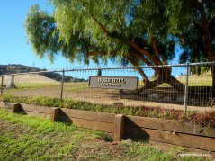
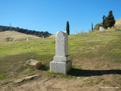
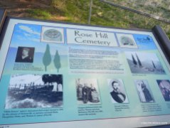
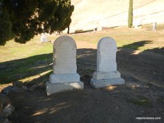
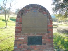
Take a walk around Rose Hill Cemetery-*Although little remains of the coal mining communities, a historic cemetery serves as a monument to the lives of the former residents. Buried here are children who died in epidemics, women who died in childbirth, and men who died in mining disasters and of other things. Although over 10 nationalities resided in the mining area, Rose Hill Cemetery was a protestant burial ground, and many of the people buried here were Welsh.
Exit the cemetery back onto Nortonville Trail; it continues uphill through the grassland to Norton Pass at the Black Diamond Trail junction.
Continue on Nortonville Trail; it winds down from the hill to the Nortonville Townsite.
Stay on Nortonville Trail to Black Diamond Trail junction; turn left through the cattle gate onto Black Diamond. The trail climbs slightly to the next junction at Coal Canyon Trail.
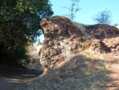
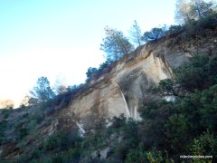
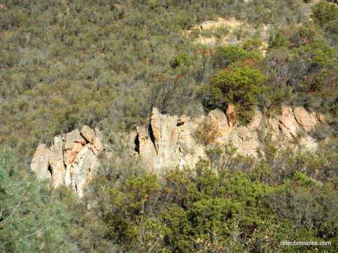
Turn left onto Coal Canyon Trail; it climbs out of Nortonville Townsite into a narrow canyon with views of a magnificent sandstone wall.
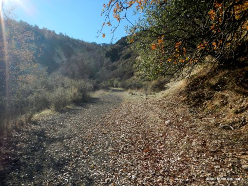
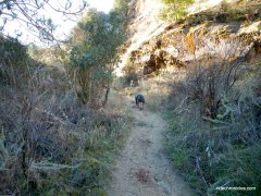
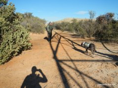
The trail becomes a single track as it winds through the gorgeous canyon along a seasonal creek.
You’ll enjoy the views of the small caves, air shafts and sand stone walls!
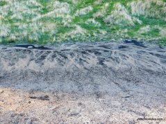
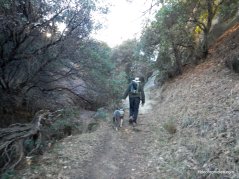
Coal Canyon Trail travels through the woodland to rocky terrain as it continues uphill along the silt laden slopes.
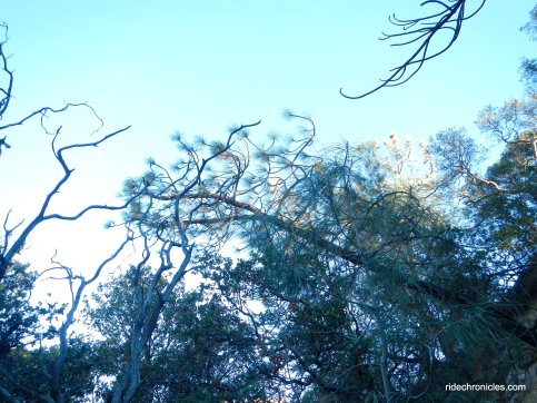
The single track cuts back through the woods out towards the forest of Coulter pines near Jim’s Place.
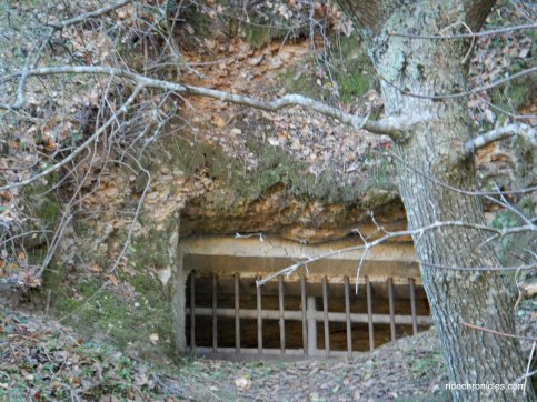
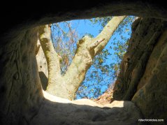
Turn left to “Jim’s Place” *This little underground dwelling is of unknown origin. Notice the square skylight, round stovepipe hole, and shelf opening.
Continue on Coal Canyon Trail to the T junction with Black Diamond Trail.
Turn left onto Black Diamond Trail-the paved road turns southwards to the Cumberland Trail junction.
Go right onto Cumberland Trail-this out and back segment leads to the Air Shaft.
Follow the single track tail to the Air Shaft. *This air shaft (once 150 feet deep and rached here by a short tunnel) was used to keep a coal mine ventilated and free from dangerous gases. The marks left by miners’ picks are still evident on the excavation sides.
Retrace your steps back to Black Diamond Trail; the paved road winds uphill through the woodlands with a steep climb.
The steep climb continues eastwards to the top of a ridge.
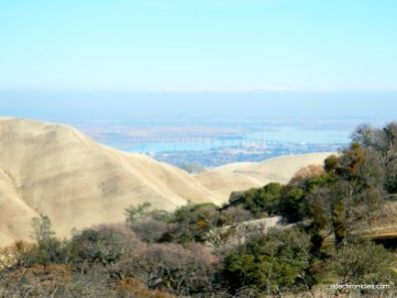
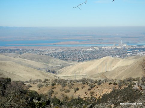
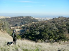
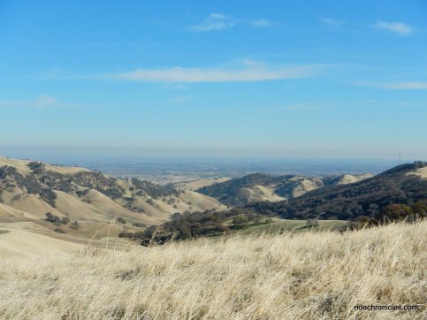
Enjoy the spectacular views of the Delta and valley areas! You can see the Antioch Bridge and the snow capped Sierra Mountains!
At the trail split-continue left onto the fire road to stay on Black Diamond Trail as it winds downhill through the grassland.
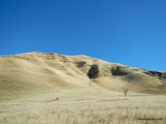
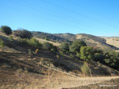
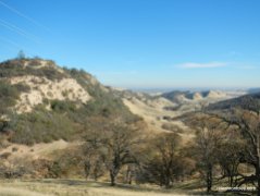
Enjoy the wonderful views of the sandstone & chaparral covered slopes and the fabulous north-east bay views!
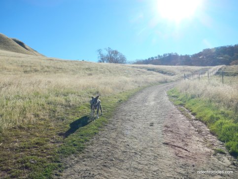
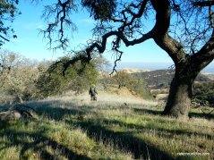
The rolling terrain gently weaves through the mixed vegetation and oak dotted landscape.
The trail travels around the hills to beautiful expansive views of Lone Tree Valley and Horse Valley!
Black Diamond Trail begins to drop down towards the valley to an open clearing.
As the road starts to curve left- go right onto the unmarked single track trail along the ridge.
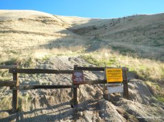
The single track exits the park boundary line into private property as it continues along the top of the ridge.
Enjoy the splendid views of the valley and Mt Diablo!
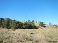
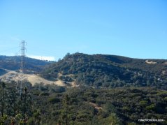
The trail cuts through the mixed forest as it heads slightly uphill underneath the transmission lines.
The single track exits through a wire fence back into the regional preserve onto the unmarked Chaparral Loop Trail.
At the Chaparral Loop Trail junction-go straight onto Ridge Trail; the rocky climb goes up along the ridge to a high point.
Enjoy the views!
The trails continues to climb up through a mixed evergreen forest to the summit.
Take in the grand views!
Ridge Trail winds down hill to the open grassland to the next trail junction.
At the Carbondale/Ridge Trail junction-turn left onto Stewartville Trail. It drops down into the gorgeous valley to the cattle gate at the junction with Railroad Bed Trail.
Stay on Stewartville Trail to Somersville Townsite at the NortonvilleTrail. Continue on Nortonville Trail to Pittsburg Mine Trail for an out & back jaunt to Hazel Atlas Portal.
Hazel Atlas Portal *From the mid-1920s to the mid-1940s, the Hazel-Atlas Mine produced silica sand to make jars, bottles, and other glass items.
Retrace steps back to Nortonville Trail to the Somersville Townsite parking lot.
Cut across the field to the trail gate and return on Railroad Bed Trail back to the Sidney Flat Visitor Center parking lot.
Cross Somersville Rd for a look around at the old ranch house and barns-park residence. *Until the discovery of coal, cattle ranching was the major industry in this area. After the mines closed, some miners found a new career in ranching. Abandoned mining town buildings became barns, railroad ties were used as fence posts, and boilers were converted into water troughs. Descendants of original mining families still graze cattle in the Preserve.
Old ranch site at the end of Somersville Rd-Property of the City of Antioch.
*The Preserve’s 65 miles of trails traverse areas of grassland, foothill woodland, mixed evergreen forest, chaparral, stream vegetation and exotic plantings. Notable among the latter are several tree species introduced by the coal miners. These include the black locust, pepper tree, almond, eucalyptus and tree of heaven.
This wonderful hike takes you around the Preserve’s historic Rose Hill Cemetery out to the mining features and districts in the area. Discover the rich history of the Indians in this back country and the significant sand and coal mining industry from the 1850’s to the late 1940’s.
*http://www.ebparks.org/parks/black_diamond
Stats:
9.45 Miles with 2011′ of elevation gain
Max elevation: 1623′
Time: 4.5 hours with several stops
Hike: Challenging with a couple of short steep climbs
Parking: Black Diamond Mines Regional Preserve parking lot at the end of Somerville Rd in Antioch.
Parking fee: seasonal, weekends & some holidays. $5 (when kiosk is staffed) $2 Dog
Water & pit toilets available
Dog Friendly
Bring water & food/snacks
Weather: Sunny and cool with clear blue skies. Temps ranged from high 40’s to the mid 50’s with SE > NE winds

























































This looks like a wonderful hike. I’ve hiked here many times but never from the
LikeLike
Oops, didn’t get to finish my comment. I’ve never hiked from the Visitor Center. Was it OK to hike on private land there? Thanks
LikeLike
Carlene, Going through the private property section was fine-as you can see in the pics, there was a opening between the barb-wired fences for hikers to pass through.
LikeLike
Thanks Nancy! Will definitely be doing this hike soon.
LikeLike
This is awesome, first time seeing this. Now I can share with people here in Missouri.
LikeLike