Saturday, December 12, 2015
View the entire Google Web Album
Explore the less traveled roads around Antioch from beautiful Empire Mine Rd and Deer Valley to Marsh Creek Rd. Travel along Walnut Rd for an scenic out & back jaunt to Los Vaqueros Watershed in Brentwood. Continue east on Camino Diablo to the small town of Byron before returning NW along the flat agricultural farmlands through Brentwood back to Antioch.
Begin the ride from Antioch Community Park-head east through the park on the multi-use path to James Donlon Blvd.
Turn on Lone Tree Way and head south on Golf Course Rd up to the residential neighborhood on Mesa Ridge Dr.
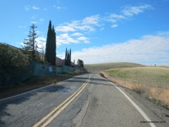
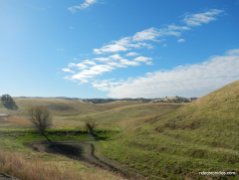
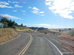
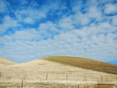
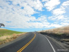
Empire Mine Rd is closed to vehicle traffic-is open for pedestrian and bicycle use only. It runs 3.5 gorgeous miles through Lone Tree Valley and Horse Valley towards Brentwood.
The road gently winds around the rolling hills to the abandoned slaughterhouse in West Hartley.
Enjoy the panoramic views of the valley!
Empire Mine Rd cuts across the beautiful expansive valleys to a T junction at Deer Valley Rd.
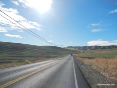
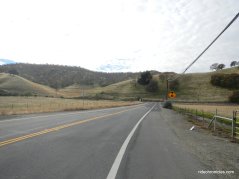
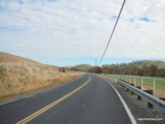
Continue south on Deer Valley Rd; the two lane road travels through the valley floor with wonderful views of the surrounding hills.
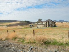
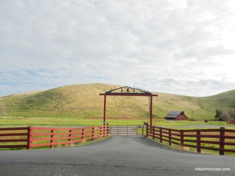
The road tilts up for a short climb up towards the orchards and ranch house.
Deer Valley Rd drops down into Briones Valley before rolling back up to another short climb and descent. The road comes to a T junction at Marsh Creek Rd.
Head east on Marsh Creek Rd; the road runs along Marsh Creek on rolling terrain through the valley orchards and ranches.
Pit stop at Round Valley Regional Preserve.
Marsh Creek Rd continues along the valley through horse ranches and orchards towards Los Vaqueros.
At the junction with Camino Diablo-go straight onto Camino Diablo; the road gently travels up and over the low hills to Walnut Rd.
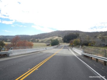
Turn right onto Walnut Rd; it runs SW for 3.5 gorgeous rolling miles to the end of the road at Los Vaqueros dam. *Los Vaqueros is a nearly 20,000 acre protected watershed that offers outstanding fishing, challenging hikes and an opportunity to learn about the fascinating history of the area. CCWD’s Los Vaqueros Reservoir was expanded in 2012, and can now store up to 160,000 acre-feet of high quality water for the District’s customers. It is now the largest reservoir in the Bay Area.
Walnut Rd to Walnut Staging Area.
Walnut Staging Area to Kellogg Creek Recreation Area.
Kellogg Creek Recreation Area to Los vaqueros Dam.
Los Vaqueros Watershed Interpretive Center.
Return on Walnut Rd to Camino Diablo.
Continue east on Camino Diablo; the road climbs up and over the hill to the intersection with Vasco Rd.
Camino Diablo rolls though the orchards and fallow fields into the town of Byron.
Meander through the agricultural farmlands around Bryon on Holway to Bryer and Bixler Rds.
Head west on Marsh Creek Rd for 3 flat miles along the farmlands and ranch style homes towards Brentwood.
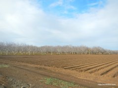
Meander around the gorgeous valley orchards and agricultural farmlands on Sellers Ave and Concord Ave to Creek Rd.
Creek Rd travels along Marsh Creek onto Marsh Creek Trail to Armstrong Way.
Head north through the center neighborhoods in Brentwood along Armstrong Way to Griffith and through the city streets on Balfour and Minnesota to Fairview Rd.
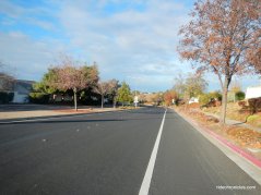
Turn westward on Lone Tree Way; this busy thoroughfare takes you across Hwy 4 to Hillcrest Ave. Take a jaunt through the Antioch residential neighborhoods around Hillcrest Ave to Prewett Ranch Dr and Dallas Ranch Dr to Mt Hamilton Dr.
Return on Golf Course Rd to Lone Tree and James Donlon Blvd. Cut across James Donlon Blvd and take the Delta de Anza Regional Trail back to Antioch Community Park.
Head east and ride along some of the beautiful country back roads around Antioch, Byron and Brentwood. You’ll enjoy the traffic-free stretch through Lone Valley and Horse valley on Empire Mine Rd and the beautiful run on Walnut Rd to Los Vaqueros Watershed! It’s always great to get out and try something new!
*http://www.ccwater.com/152/The-Los-Vaqueros-Story
Garmin Stats:
51.81 Miles with 1703′ of elevation gain
Max elevation: 346′
Max grade: 8%
Terrain: Flat-rolling with some low hills
Weather: Partly cloudy skies with partial sunshine. Cool temps ranging from the low to high 50’s with NW winds.
View the interactive RGPS route map & profile
Follow this route for today’s ride:


