Thursday, September 27, 2018
View the entire Google Web Album
With its rolling, grassy hills and secluded, shady canyons, Briones is a secret wilderness surrounded by the towns of central Contra Costa County. Although the park is close to Lafayette, Walnut Creek, Pleasant Hill, Concord, and Martinez, there are peaks within it from which you can see only park and watershed lands for miles in every direction.*1
This hike explores the northern section of Briones Park with a clockwise loop from the Alhambra Creek Staging Area. Take Alhambra Creek up to Spengler and Old Briones Rd and stay along the ridge on Briones Crest Trail to Lagoon Trail followed by a drop down into Toyon Canyon. Return on Pine Tree and Orchard Trail to Alhambra Creek.
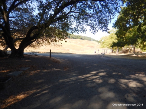
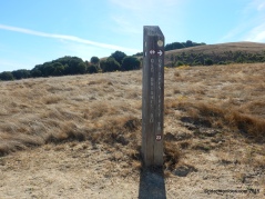
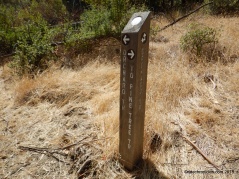
From the trail gate, turn right at trail post 34 to Alhambra Creek Trail.
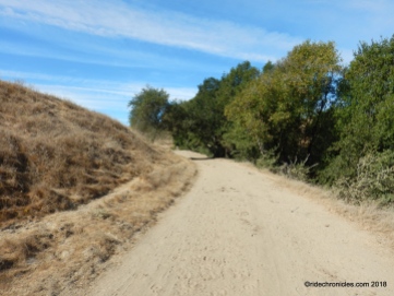
At trail post 33, turn left onto Alhambra Creek Trail, it turns south between the creek and grassland with views of the low hills.
The trail cuts into the shaded oak/bay woodland to trail post 37.
Turn right onto Spengler Trail, it continues with an uphill climb to the cattle gate.
Spengler continues across the upper grassland meadows towards the Maricich Lagoons near trail post 24.
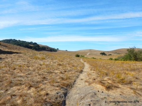
Turn left onto Old Briones Rd Trail, it travels across the grassland with open views of the surrounding hills.
At trail post 23, turn right onto Briones Crest Trail. The trail continues along the ridge with fabulous northeastern views of Suisun Bay and Carquinez Strait!
The trail winds around the low hills to the stock pond at trail post 38.
Go straight to stay on Briones Crest Trail, it continues along the ridge with gorgeous panoramic views of the Sindicich Lagoons, Briones Hills, and East Contra Costa!
At trail post 39, go straight to stay on Briones Crest Trail. It stays along the rolling ridgeline with extensive views of Mt Diablo and the valleys below!
Briones Crest Trail cuts into the scattered woodland before continuing along the rolling ridgeline to trail post 40. Enjoy the views of Mt Tam and the north bay!
Turn right onto Lagoon Trail, it stays along the ridge across the expansive upper grassland meadows!
Enjoy the panoramic views!


At trail post 41, turn right to stay on Lagoon Trail. The rolling terrains lead towards the transmission towers before winding its way down and around the hillside.
Lagoon Trail drops through the shaded woodland followed by a short climb up to trail post 43.
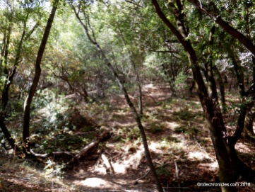
Turn left onto Toyon Canyon Trail, it turns northward as it continues downhill through the densely wooded canyon.
The trail tilts up for a short climb out of the canyon to trail post 27.
Continue straight onto Pine Tree Trail to trail post 28.
Go straight onto Orchard Trail, at the next trail split, turn right onto the no-name cattle trail. The single track leads up to and past the cattle gate to trail post 31.
Go straight to stay on Orchard, the fire road continues along the white fence line to Briones Rd.
Cross Briones Rd to trail post 32, go straight to stay on Orchard Trail.
The broad fire road leads you back to the start at Alhambra Creek.
This is a lovely scenic hike through the shaded woodlands along the creek up Briones Crest with spectacular ridge top views-ENJOY!
*1 http://www.ebparks.org/parks/briones/
Stats:
6.44 Miles with 1134′ of elevation gain
Max elevation: 1342′
Time: 3 hours with one stop
Hike: Moderate with steep climbs
Parking: $3 Fee for parking and $2 per dog when the kiosk is attended
Water & pit toilet available at Orchard Picnic Area
Dog-friendly *dogs are required to be on leash in certain areas within the park
Bring plenty of water & snacks
Weather: Sunny and warm. Temps ranged from the high 60’s to the low 80’s with NW winds.
View the interactive RGPS route map & profile


