Wednesday, June 1, 2016
View the entire Google Web Album
Today’s hilly ride goes for a clockwise loop from Mill Valley up to Four Corners onto Muir Woods Rd. It drops down to Muir Woods for a flat ride through Santos Meadow to Muir Beach and climbs north on Hwy 1 to the top of the ridge. The rolling terrain along the coast heads down into Stinson Beach for a fun roll along Bolinas Lagoon. Ascend Bolinas Fairfax Rd to Ridgecrest Blvd for the rolling climbs along Bolinas Ridge. Descend Pan Toll and Panoramic for the return to Mill Valley.
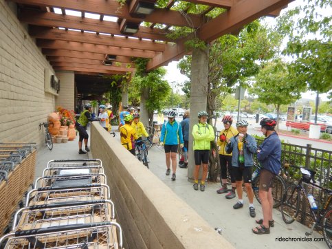
Meet up at Safeway.
Head north on Miller Ave to the downtown area around Depot Plaza.
The turn on Cascade Dr takes you through the redwoods and woodsy homes around Old Mill Park.
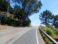
Marion Ave winds up along the canyon on a narrow single lane road through a beautiful residential neighborhood nestled in the woods. The climb is one mile long with an average grade of 4.7% and steep pitches of 8-10%.
The climbing continues on Edgewood Ave with an average grade of 5.5% for a short 3/10th of a mile up to Sequoia Valley Rd.
Sequoia Valley leads you out of the residential neighborhoods to the top of the ridge at Four Corners; it’s a 0.7 mile climb with an average grade of 6.3%.
At Four Corners, continue downhill through Redwood Canyon on Muir Woods Rd to the entrance to Muir Woods National Monument.
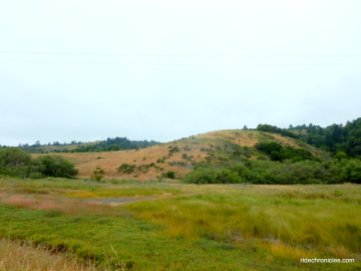
Muir Woods Rd continues for 2.4 flat miles along Frank Valley to Santos Meadow to Muir Beach; it cuts through the surrounding dense forests and mountain slopes adjoining Golden Gate National Recreation Area and Mt Tamalpais.
At Muir Beach, head north on Hwy 1 for the steep climb up to the ridge; it’s one mile in length with an average grade of 8.1% and steep pitches of 10-12%!
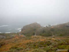
Hwy 1 levels out at the top of the ridge with dramatic ocean and mountain vistas!
Hwy 1 drops down along the rocky coast for a series of rolling climbs and descents towards Rocky Point trailhead.
The road levels out for a short bit before quickly descending into Stinson Beach.
Lunch stop at Stinson Beach; you can pick up something to eat and drink at the Stinson Beach Market or splurge on hamburgers, hot dogs and ice cream at the Parkside Snack Bar.
Continue north on Hwy 1 for the flat 4.4 miles along the Bolinas Lagoon.
The turn onto Fairfax Bolinas Rd is easy to miss; there is no signage-it’s approximately 200′ after coming up upon the orange intersection sign. Fairfax Bolinas Rd is a steady 4.4 miles climb up to the summit of Bolinas Ridge. The average grade is 6.3% with steep pitches of 9-12% around the switchbacks.
This quiet less traveled narrow road winds up from the wetlands into the woodlands to the first steep switchback.
The road continues to snake up through the pencil straight coniferous forest and coastal oaks.Enjoy the views of Bolinas Lagoon!
The summit is near as you enter under the deep shade of the towering redwoods at Bolinas Ridge.
The next 3.8 miles on W Ridgecrest Blvd takes you along the ridge with stunning views of the ocean and coastal mountains.
The run along the ridge to Rock Springs consists of a series of giant rolling climbs with gradient ranges of 9-13%-enjoy the ride!
Stop at Rock Springs.
Descend Pan Toll Rd and Panoramic Hwy for the return on Sequoia Valley to Edgewood and Miller Ave.
This is a gorgeous hilly ride that takes you from the coastal redwoods out to the beautiful coastline and up along the scenic ridge with spectacular views all around!
Garmin Stats:
35 Miles with 3901′ of elevation gain
Max elevation: 1992′
Max grade: 14%
Terrain: Extremely hilly with steep climbs
Weather: Dense coastal fog with afternoon sun. Temps ranged from the low 50’s to the high 70’s with SW winds.
View the interactive RGPS route map & profile
Follow this route for today’s ride:


