Thursday, February 4, 2016
View the entire Google Web Album
*From the 1860s through the turn of the last century, five coal mining towns thrived in the Black Diamond area: Nortonville, Somersville, Stewartville, West Hartley and Judsonville. As the location of California’s largest coal mining operation, nearly four million tons of coal (“black diamonds”) were removed from the earth.
This trail hike explores the mining features along the Chaparral Trail at Black Diamond Mines Regional Preserve. It continues on a clockwise loop from River View Trail and Lark for the climb out of the valley on Old Homestead Loop Trail and Acorn Trail to the top of the ridge. Return west along Ridge Trail to Carbondale Trail for the descent on Saddle Trail to the parking lot. *The Preserve’s 65 miles of trails traverse areas of grassland, foothill woodland, mixed evergreen forest, chaparral, stream vegetation and exotic plantings.
Begin this trail hike from the Somersville Townsite staging parking lot.
Head south through the parking lot on the main road towards the Visitor Center.
At the Hazel Atlas Portal junction-go right to continue towards mining feature #3-Greathouse Visitor Center. *The Greathouse Visitor Center is located in an underground chamber excavated in the mid-1920s. View the workings of a 20th-century sand mine and learn about the lives of 19th-century coal and 20th-century sand miners. The center contains displays, photographs, videos, brochures and artifacts depicting the park’s coal and sand mining eras.
Head up the stairs and turn right towards the Chaparral Loop Trail to mining feature # 4-Eureka Slope. *This inclined shaft was the entrance to the Eureka Coal Mine. Between 1860 nad 1895, more than 150,000 tons of coal were hoisted to the surface. The slope is 290 feet long and descends at the pitch of 32 degrees.
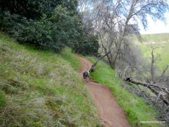
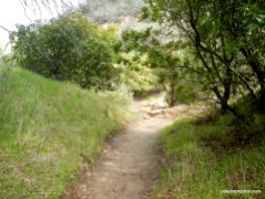
Continue on Chaparral Loop Trail-the trail begins on a gentle grade as it winds around the mixed woodland.
At the Lower Chaparral Trail junction-turn left onto Lower Chaparral; the single track trail continues to snake its way up through the woodland.
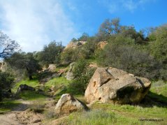
The trail opens up onto rocky terrain as it tilts up for a steep climb up to the next junction at Chaparral Loop/Ridge Trail.
Go left onto Chaparral Loop Trail-the trail descends from the top of the rocky clearing towards mining feature #6-Powder Magazine.
Turn right at Chaparral Loop junction to Powder Magazine-follow the trail to the site. *This small excavation was used to store explosives during the sand mining era.
Return to Chaparral Loop Trail junction and turn right to go to mining feature #7-Slope. Follow the rocky terrain through the thicket of manzanitas to the site. *This huge chamber was blasted out of sandstone by miners extracting rock for glass making.
Return to Chaparral Loop Trail junction and continue downhill towards Hazel Atlas Portal.
Stop at mining feature #5-Hazel Atlas Portal. *In the 1920s underground mining for sand began near the deserted Nortonville and Somersville townsites. The Somersville mine supplied sand used in glass making by the Hazel-Atlas Glass Company in Oakland, while the Nortonville mine supplied the Columbia Steel Works with foundry (casting) sand. Competition from Belgian glass and the closing of the steel foundry ended the sand mining by 1949. Altogether, more than 1.8 million tons of sand had been mined.
*From the mid-1920s to the mid-1940s, the Hazel-Atlas Mine produced silica sand to make jars, bottles, and other glass items. Today, tour participants can take a 950-foot walk into the mine to see mine workings, ore chutes, the shifter’s office (mine boss), and ancient geological features.
Continue downhill from Hazel Atlas Portal for the return towards Somersville Townsite.
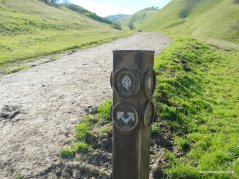
At the Stewartville Trail junction-turn right onto Stewartville Trail followed by an immediate left onto Railroad Bed Trail.
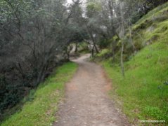
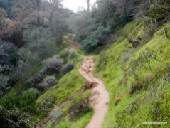
At the River View Trail junction-go right onto River View. The trails runs along the side of the hill with gorgeous views of Markley Canyon.
At Saddle Trail junction-go straight to stay on River View. The trail continues winding up around the hillside to the next junction at Carbondale Trail.
Enjoy the spectacular vistas!
At Carbondale junction-go left to stay on River View. The trail heads eastward with fabulous open valley views!
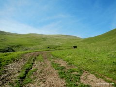
At Lark Trail junction-go right onto Lark; the trail drops down towards the valley with grazing cattle dotting the trails and hilltops.
At the park boundary junction-go straight to stay on Lark; the trail winds down around the hill before coming to a T junction at Old Homestead Loop Trail.
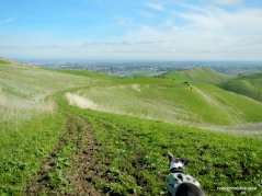
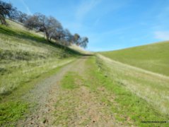
Turn left onto Old Homestead Loop Trail-the trail heads westward as it gently winds up through the hills to its high point.
The trail drops down through the oak dotted hills towards the valley at Contra Loma Park. Old Homestead Loop Trail kicks up for a short climb to the next trail junction.
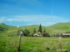
At the Homestead trail junction-go right to stay on Old Homestead Loop. The trail heads southwest as it winds back up through the rolling green hills with idyllic views of cattle dotting the landscape.
At North Portal junction-go straight to stay on Old Homestead Loop. The trail continues uphill through the open pastoral grassland to Acorn Trail.
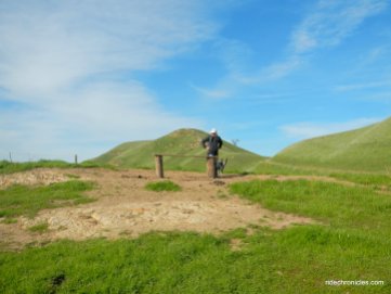
At Acorn Trail junction-turn left onto Acorn; the trail continues upwards through the scattered woodland to the cattle gate. Follow through the gate to the next junction.
At Ridge Trail junction-turn right onto Ridge Trail; the trail heads westwards along the ridge through the oak dotted hillside.
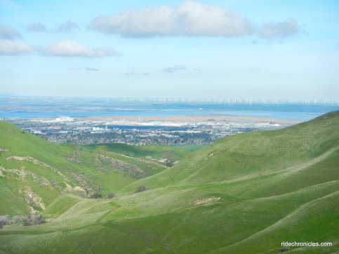
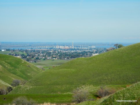
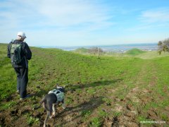
Enjoy the stunning Delta waterway views!
Ridge Trail continues along the rolling ridge line to the scenic overlook bench.
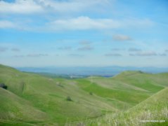
Enjoy the spectacular valley views!
Continue through the cattle gate to Stewartville/Carbondale Trail junction. At the split-go right onto Carbondale; the trail winds around the hillside on a gentle grade to the next cattle gate.
The trail snakes northward around the hills with beautiful vistas!
At Saddle Trail junction-go left onto Saddle; it winds down from the hill to River View junction.
Turn left onto River View Trail-follow the trail through the cattle gate to Railroad Bed Trail junction.
Turn right onto Railroad Bed Trail for the return to the parking lot.
This is a wonderful hike around the historic mining features at Black Diamond Mines. You’ll enjoy the quiet calm through the gorgeous verdant valleys and the scenic views along the ridge tops! Bring a flashlight and a change of shoes for this muddy winter trek! Keep an eye out for the early wildflowers coming into bloom-they’re beautiful!
*http://www.ebparks.org/parks/black_diamond#reach
Stats:
9.2 Miles with 2134′ of elevation gain
Max elevation: 1194′
Time: 4.5-5 hours with several stops
Hike: Challenging with steep climbs
Parking: Black Diamond Regional Preserve-Somersville Townsite parking lot at the end of Somersville Rd in Antioch.
Parking fee: seasonal, weekends & some holidays. $5 (when kiosk is staffed) $2 Dog
Water & pit toilets available
Dog Friendly-watch for free roaming cattle grazing areas
Bring water & food/snacks-NO WATER along the trails
Weather: Plenty of sunshine and blue skies. Cool temps ranging from the low-high 50’s with NE winds.






























Nice GREEN hills! Looks muddy with ‘sticky’ clay soil. Great pics. Thanks, Nancy!
LikeLike
Thanks Jim! Spring is definitely in the air!
LikeLike