Friday, June 15, 2018
View the entire Google Web Album
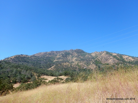
Mount Diablo State Park is one of the ecological treasures of the San Francisco Bay Area. Every season in the park has its special qualities. Discover them for yourself, from the mountain’s 3,849-foot summit to its beautiful wildflowers, extensive trail system, fascinating wildlife, and distinctive rock formations. *1
Unless you’re an equestrian or live in Morgan Territory, chances are you’ve never visited Perkins Canyon, at the northeast corner of Mount Diablo State Park. On maps, trails seem short and confusing and it’s not clear where to park. You’ve been missing out. Trail loops are short but fascinating, there is great history and geology, really diverse wildlife and spring wildflowers, two historic rock dams and one of the most beautiful creeks in the State Park. *1
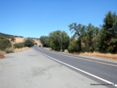
Begin this hike from the wide pull-out on the right side of Marsh Creek Road about 1.3 miles beyond Regency Drive in Clayton. There is an emergency call box with a big blue sign-CC M 16. Enter through the unmarked park gate onto the unsigned Sharkey Rd.
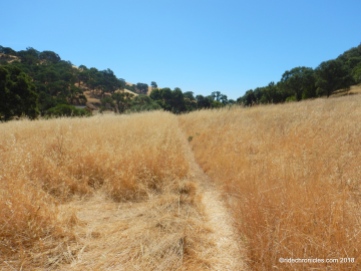
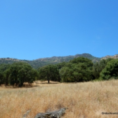
At Marsh Trail/Sharkey Rd junction; go left onto Marsh Trail. The broad fire road runs parallel to Marsh Creek Rd as it goes upward on a moderate grade through the oak woodland. The trail drops down from its high point towards Miwok Rd.
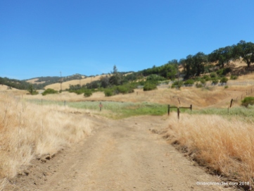
At the trail junction, turn left on Miwok Rd. It goes uphill towards the transmission towers where the pavement ends. The trail drops downhill on a gentle grade as it travels across the grassland.
At the next trail junction, turn left onto Olympia Trail. It cuts through the oak woodland before leading you out across the open grassland.
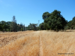
Stay on Olympia Trail, it continues back through the woods before exiting out along the equestrian facility to the Oak Hills Trailhead parking area.
Go straight onto Oak Hills Trail, it turns south as it runs parallel along the west side of Morgan Territory Rd towards Perkins Canyon meadow with grand views of North Peak and the old mercury mine pond.
The trail continues across Dunn Creek to the Diablo Mines trail junction, turn left to stay on Oak Hills Trail as it continues across the open oak-studded grassland.
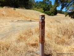
At the next trail post, go straight to stay on Oak Hills Trail to the next junction.
At the next Oak Hills Trail junction, turn right onto the unmarked Perkins Trail to Perkins Canyon. The trail comes to a split, go straight to stay on Perkins Trail followed by a left at the next unmarked junction. The single track trail continues through dense brush as you travel further south towards Perkins Creek.
The trail ends at the beautiful historic rock dam at Perkins Creek.
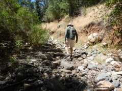
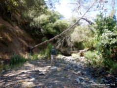
If the creek is dry, enter through the dam, otherwise, take the far right trail to get over the dam and follow the gorgeous dry creekbed upstream. Perkins Creek is rock lined the entire length with one rock pool after another.
The dry rocky creekbed leads to the second historic rock dam.
Continue through the upper gorge and follow the faint trail through the dense brush.
At the south end of the creek, the trail turns northward for an uphill climb to the utility access road junction.
Turn right onto the unmarked Perkins Trail, it drops downhill towards the open meadows.
At the Diablo Mines Trail junction, turn left. The single track continues north as it cuts across the low hillside up to another utility access road junction.
Turn right and head downhill for the return to Oak Hills Trail junction.
Cross the creek, turn left and retrace your steps on Oak Hills Trail to Olympia Trail.
Continue straight onto Olympia to Miwok Trail junction.
Turn left to stay on Olympia, it turns westward for a shaded stretch along the scenic creek.
Stay on Olympia, it exits the riparian woodland out onto the foothill grassland to Three Springs Rd.
Turn left onto Three Springs Rd followed by an immediate right turn at Sharkey Rd junction.
Sharkey Rd leads you back to the trailhead at Marsh Creek Rd.
Take these trails less traveled and explore the far northeastern section of Mt Diablo to one of the park’s most beautiful creeks and canyons. You’ll enjoy the beautiful Perkins Canyon and the geologically rich Perkins Creek!
*1 http://www.savemountdiablo.org/activities_hikes.html
Stats:
5.74 Miles with 853′ of elevation gain
Max elevation: 1063′
Time: 3 hours with multiple stops
Hike: Easy
Parking: There is a wide pullout area for parking about two miles beyond Regency Drive in Clayton. Look for the yellow emergency call box with the big blue sign-CC M 16
No facilities & no water.
Bring water & food/snacks-No water along the trails
NO DOGS ALLOWED
Weather: Sunny & warm. Temps ranging from the mid 60’s to the mid 70’s with SW winds
*The current edition “Mount Diablo Trail Map” is available for purchase at the park entrance stations, Summit Visitor Center and Mitchell Canyon Visitor Center in Mt. Diablo State Park. They are also available at selected retail map distribution stores such as REI, Sportsbasement and on-line at MDIA’s Store.
Directions: Sharkey Rd Trailhead on Marsh Creek Rd > S-Sharkey Rd > L-Marsh Tr > L-Miwok Rd > L-Olympia Tr > S-Oak Hills Tr > L-stay on Oak Hills Tr > L-stay on Oak Hills Tr > R-unmarked Perkins Tr > S-stay on Perkins Tr > L-unmarked trail to Perkins Creek > Stone Dam > R-follow trail over the stone dam > S-stay along the creek bed > R-unmarked Perkins Tr > R-unmarked Perkins Tr > L-Diablo Mines Tr > R-Utility Access Rd > S-stay on trail > X-creek onto Oak Hills Tr > L-stay on Oak Hills Tr > S-onto Olympia Tr > L-stay on Olympia Tr > L-Three Springs Rd > R-Sharkey Rd > Marsh Creek Rd


