Monday, April 9, 2018
View the entire Google Web Album
Day 3: This route explores the scenic murals along the old downtown alleys ways on S H St followed by a flat run out to Ocean Beach Park and Surf Beach. The ride includes the remote out & back climbs on San Miguelito Rd and Sweeney Rd.
Head west across the city of Lompoc to E Walnut Ave.
Continue south on S H St through the historic old downtown area.
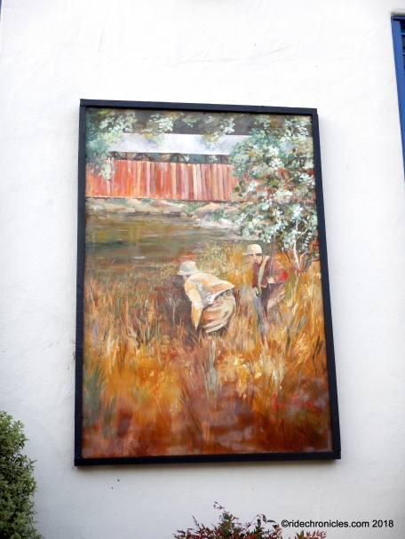
Take the time to explore the plethora of murals depicting scenes of Lompoc’s heritage, flower industry, historic sights, ethnic diversity, scenic beauty and more. Most of the murals are curated by the Lompoc Mural Society, a local non-profit dedicated to revitalizing historic old town and the valley’s economy through cultural tourism, and using art as a tool to help build bridges across barriers between ethnic and cultural groups.*1
History:
Floral:
Agriculture:
Cultural diversity:
Freedom & Liberty:
Mural gardens:
Other:
Continue east through the residential neighborhoods along W Olive St.
Cut across the valley on S Bailey Ave.
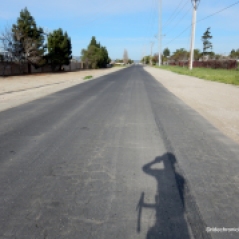
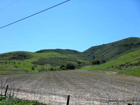
Turn left onto W Ocean Ave for a flat run through the expansive rich agricultural valley.
At Ocean Park Rd, turn right and follow the paved road across the RR tracks to Ocean Beach Park.
Ocean Beach Park is a Santa Barbara County park located at the mouth of the Santa Ynez River and surrounded by Vandenberg Air Force Base near Lompoc, CA. The river backs up into a wide lagoon that attracts birds and birding enthusiasts. Ocean Beach is backed by dunes that extend in both directions from the river. *2
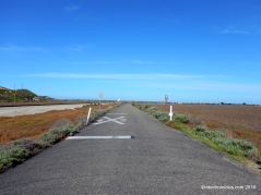
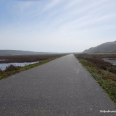
Enjoy the glorious marshlands along the Santa Ynez River.
Exit Ocean Beach Park.
Continue south on W Ocean Ave to Surf Beach.
Surf Beach is a public beach located on Vandenberg Air Force Base near Lompoc, CA. Access to Surf Beach is from the Amtrak train stop parking area along West Ocean Avenue. The areas north and south of Surf Beach are closed March 1st through September 30th to protect the Snowy Plover bird nesting spots.*3
Enjoy the colorful coastal landscape and panoramic ocean views!
Return east on W Ocean Ave to S Bailey Ave and W Olive Ave to S I St.
Head south on S I St to San Miguelito Rd. San Miguelito Rd heads SW for 8.9 miles up around the Lompoc Hills followed by a drop into La Honda Canyon. The road begins with a flat roll past the residential ranch homes to Miguelito Park.
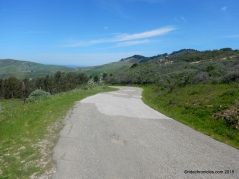
The road tilts up for a mile long climb up to the high point at JPlarsen Ranch with an average grade of 7%.
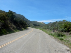
San Miguelito Rd drops down into the shaded canyon along San Miguelito Creek.
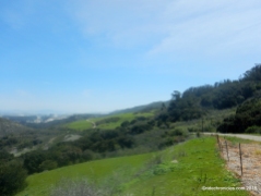
The road exits the riparian woodland area as it winds around through the remote canyon area to the upper meadows with an average grade of 4%.
San Miguelito Rd continues upward past the ranch and barns to the intersection at Sudden Rd.
Turn right and continue climbing up to the top of San Miguelito Rd.
From the summit, the road swiftly drops down to the flat valley at La Honda Canyon and comes to an dead end at Vandenberg Air Force boundary.
Turn around and climb out of La Honda Canyon back up to the summit, it’s a steep 0.9 mile climb with an average grade of 11%!
The road drops down along the creek followed by a short pitch back up to JPlarsen Ranch.
Return on S I St and head east on W Olive to 7th St. Continue east on Hwy 246 to Sweeney Rd.
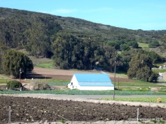
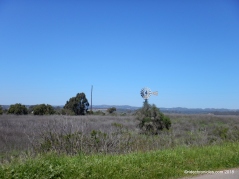
Sweeney Rd runs 5.7 flat-rolling miles around the Santa Rita Hills through the upper valley vineyards and agricultural farmlands. The road comes to an end at the private property line.
I forgot to carry an extra battery for the camera so no pics are available for the last portion of this ride.
This is a wonderful ride from Lompoc out to the beach and up around the remote quiet country back roads. You’ll also enjoy all the colorful murals around the old downtown area!
*1 https://explorelompoc.com/directory/lompoc-murals/
*2 https://www.californiabeaches.com/beach/ocean-beach-park/
*3 https://www.californiabeaches.com/beach/surf-beach-at-vandenberg-afb/
Garmin Stats:
56 Miles with 3710′ of elevation gain
Max elevation: 1351′
Max grade: 14%
Terrain: Flat-rolling with steep climbs
Weather: Sunny and HOT. Temps ranged from the high 50’s to the mid 90’s with ENE > SW winds.

View the interactive RGPS route map & profile

Follow this route for today’s ride:


