Thursday, December 29, 2016
View the entire Google Web Album
Robert Louis Stevenson State Park is 5,272 acres and contains awesome views of Napa, Sonoma and Lake County from the summit of the highest peak in the California Wine Country, Mount St. Helena. Hiking and biking are the main activities and the trails to the north climb to the summit of Mount St. Helena, while the trail to the south lead hikers to Table Rock, the volcanic cliffs of the Palisades, and a connection to the Oat Hill Mine Trail and the outskirts of the City of Calistoga.*1
From Calistoga, it’s a twisty eight-mile drive up Highway 29 to the parking area and trailhead, the same staging area used for the Mount St. Helena Trail. It is signed Robert Louis Stevenson State Park. The trail to Table Rock and the Palisades is on the right (southeast) side of the road. *2
The Table Rock Trail which departs from the parking lot on Hwy 29 and heads south to the massive Table Rock volcanic formation following an old utility road and single-tread path. The Palisades Trail connects Table Rock Trail with the Oat Hill Mine Trail and follows the base of The Palisades volcanic rock formations. These trails are rugged and require clamoring over volcanic rock formations and down water run-off channels. The trails, however, is arguably some of the best in Napa County and provides amazing vistas and volcanic rock formations that are globally unique and are best seen from this vantage point. *1
Begin this hike from the parking lot at the summit of Calistoga Grade off Hwy 29 at ~2250′ elevation.
Table Rock Trail starts off with a steep pitch up to the main trail followed by a gradual climb through the woodlands out to an open clearing.
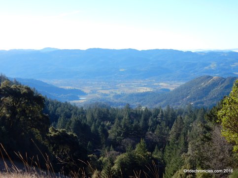
The trail cuts back through the dense woods on rocky terrain with the occasional glimpse of the valley.
At the trail junction, turn right to stay on Table Rock Trail. It continues climbing through the dense woodlands up to the Table Rock Overlook trail post.
Follow the trail through the chaparral-covered slope, it leads you to the large rock outcropping known as “Table Rock Overlook” (this is not Table Rock).
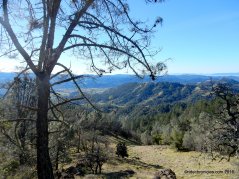
Climb up to the top of the rock formations and take in the gorgeous views of the surrounding forests, canyons, and valleys.
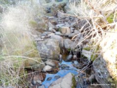
From the overlook area, follow the trail eastward (there is no signage). It drops down along a rocky shallow dry stream with scenic views of the surrounding rock outcroppings.
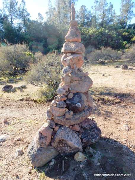
The trail levels out as it enters through a stacked stone rock garden.
Follow the rock lined trail to the elaborate rock labyrinths and rub the little buddha’s belly for good luck before exiting the area. It’s not a good idea to weigh down his head with stacked coins and certainly not the way to enlightenment.
Table Rock Trail heads south as it continues downhill on rocky terrain and sandstone.
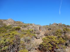
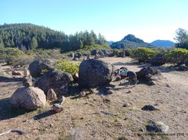
The trail comes upon a level area with large volcanic outcroppings.
Table Rock Trail drops down along a narrow gully as it cuts through the dense woodland, follow the cable wiring into the deep canyon area.
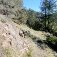
After crossing the rocky stream, the trail climbs up and over the volcanic rocks towards the outcroppings at Table Rock. You can avoid scrambling over the rocks by crossing the stream and following the faint trail across the rocky grassy slope.
Arrive at the base of Table Rock and the Palisades Trail junction at ~2465′ elevation. (~2.2 miles from the trailhead parking lot) At this point, you can scramble west over the rocks to the top of Table Rock, enjoy the views, have a lunch/snack and head back to the car or continue south on the Palisades Trail.
The Palisades? Aren’t the Palisades a glacier-carved series of 14,000- foot peaks in the Sierra Nevada? Well, yeah, but Napa County’s Palisades are nearly as dramatic — a stunning mile-long volcanic wall set along a ridge that overlooks Calistoga and the Napa Valley — and they’re accessible year- round. The Palisades are more dramatic up close and provide gorgeous long- distances views. In addition, this trail is one of the best near Calistoga to see raptors, including peregrine falcons, and wildflowers, particularly bitterroot. *2
Because thermals rise up from the valley below, raptors are often sighted hovering nearby. Turkey vultures and red-tailed hawks are the most common, kestrels almost as much so. Crevices high in the cliffs also provide nesting areas for peregrine falcons.*2
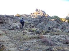
On the Palisades, the trail leads through grassy hillsides, oak groves and chaparral with amazing volcanic rock formations to explore. *1 The trail winds down through dense brush with intermittent views of the valley.
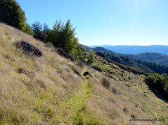
It’s easy to take a wrong turn, there is one section that leads you down some rock steps, the trail looks to turn right and crosses over a fallen tree when indeed you should turn left. Look for the pink ribbons tied to some branches! The narrow trail cuts in and out through the woodlands across the grassy slope to the park boundary sign post.
Enjoy the wonderful views!
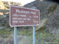
Continue south on Palisades Trail through the woods to Lasky Point at ~2,045′ elevation.
Enjoy the grand views!
The trail then climbs back up for about two miles along the base of the Palisades at ~2,930 feet elevation.
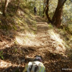
The narrow trail continues to cut in and out of the woodland along the rocky slopes.
Palisades Trail leads to the Historic Oat Hill Mine Rd post.
The lookouts are breathtaking with long-distance views to the south down the Napa Valley and across miles of hills to the east.*2
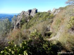
The trail is spectacular, set just beneath the sheer volcanic cliffs along the ridge.*2
The rocky climb continues eastward below the Palisades to a beautiful open grotto.
It cuts across the grassland before dropping through the woodland towards Holms Place at ~2250′ elevation.
Holms Place is the homestead property of Karl Gustov Holm, who built a log cabin on his 160-acre homestead in 1893, and added a new house in 1896. Parts of stone wall for his barn and a few old fruit trees remain today. *1
Reverse your way on the Palisades Trail towards Table Rock. It begins with a short steep climb back through the woods before meandering below the Palisades to the Table Rock sign post.
The trail gently climbs back up to Lasky’s Point.
Palisades Trail re-enters the State Park boundary as is begins a series of steep uphill switchbacks up towards Table Rock. Remember to watch for the pink ribbons!
The trail takes you through dense brush before exiting out to the Palisades/Table Rock Trail junction.
Scramble up along the volcanic rocks to the top of Table Rock.
Enjoy the spectacular views of Calistoga valley!
Retrace your steps along the narrow gully and stream and climb back up to the labyrinths and the Table Rock Overlook area. Descend Table Rock Trail for the return to the parking lot.
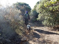
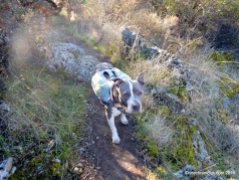
This gorgeous remote hike travels through an undeveloped part of Robert Louis Stevenson State Park which does not even have maps available online. Be prepared, bring plenty of water, food and wear good hiking shoes for this rugged experience! The trails lack proper signage, it’s easy to get off track and wind up on a trail that dead-ends. (with the overabundance of fallen leaves along the trails, Shadow lost her footing on one of these detours and slid ~25′ downhill before coming to a stop. Ron came to the rescue and helped her back uphill!) This is a strenuous hike with a rocky trail, deep gullies, and narrow ledges. Use caution and common sense.
**There have been helicopter rescues due to heat exhaustion, dehydration and ankle and other injuries. The best way to experience this portion of Robert Louis Stevenson State Park is to arrange for a car shuttle between the parking lot on Highway 29 and the base of Oat Hill Mine Trail in the City of Calistoga.*1
*1 http://napaoutdoors.org/parks/robert-louis-stevenson-state-park/
*2 http://www.sfgate.com/bayarea/article/Calistoga-s-stairway-to-heaven-Palisades-trail-2806102.php
*3 http://www.alltrails.com/trail/us/california/table-rock-trail-palisades-trail-to-holms-place
Stats:
12 Miles with 3542′ of elevation gain
Max elevation: 2710′
Time: 8 hours with multiple stops
Hike: Very strenuous-rocky terrain. Wear good hiking shoes!
Parking: Palisades Trailhead-No fee parking provided off Highway 29 at the Mt. St. Helena Trailhead at Calistoga
No facilities & no water. Bring water & food/snacks
Dogs OK?
Weather: Sunny and cool. Temps ranging from the low 40’s to the high 50’s with NE winds






























Abstract water rock thing was a little different.
LikeLike
It looks like the dog got a workout.
LikeLike
shadow was totally beat after the hike
LikeLike