Monday, June 27, 2016
View the entire Google Web Album
This short hilly ride takes you up Tunnel Rd to Skyline Blvd for a roll through the residential neighborhoods around the Oakland Hills. Drop down through the beautiful redwoods on Redwood Rd for a quiet climb up Pinehurst Rd to Pinehurst Gate at Redwood Park. Continue NW on Pinehurst Rd for a scenic stretch underneath the gorgeous redwood forest through the town of Canyon. Climb Pinehurst Rd back up to Skyline Rd for the return on Tunnel Rd to Caldecott Ln.
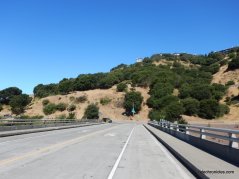
Begin this ride from the North Oakland Sports Field. Exit the parking lot onto the Fwy Overpass, it takes you over Hwy 24 to Caldecott Ln.
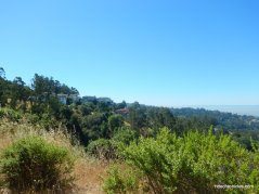
Tunnel Rd up to Skyline Blvd at Grizzly Peak Blvd is 3.2 miles with an average grade 4.3%; it’s a nice steady climb that winds its way up through the hillside neighborhoods with multi-level homes.
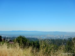
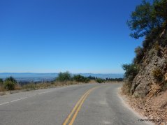
The climb offers fantastic views of the East Bay and its surrounding hills.
The upper section of the road runs along the ridge through the eucalyptus groves to the intersection at Grizzly Peak Blvd.
Brief stop at Sibley Park.
Continue on Skyline Blvd for the next 5.4 miles; the rolling terrain takes you through the residential neighborhoods to the redwoods surrounding Redwood Regional Park, Joaquin Miller Park and Roberts Recreation Area.
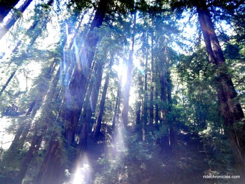
Descend Skyline Blvd and continue SE along the ridge to Redwood Rd. The descent on Redwood Rd heading east to Pinehurst Rd is a fun 2.4 smooth miles through the towering redwoods with minimal traffic and no technical turns. This is one of my favorite downhills, no braking is required!
The climb up south Pinehurst Rd to Pinehurst Gate is 1.3 miles with an average grade of 4.7% and one steep pitch of 8-9% as you near the top. The descent on Pinehurst down to Canyon Rd is on a narrow twisty two lane road with many blind turns-use caution!
Pinehurst Rd continues north on gentle rolling terrain for the first 2.7 miles on an old railroad grade under the shade of the gorgeous redwood forest. It follows the curves of San Leandro Creek to the small community of Canyon.
It continues in and out of the canopy of trees to the hairpin turn at the gated trail head to Huckleberry Regional Preserve.
At the switchback, the road tilts up through the canyon for the next 0.8 miles with an average grade of 4.7%.
The next hairpin turn comes at mile 34.2 at the orange 10 mph sign; this is the steepest section of Pinehurst-it’s a 0.5 mile climb with 9-12% grades to the top at Skyline Blvd.
The rolling terrain on Skyline Blvd leads back to Tunnel Rd.
Descend Skyline and Tunnel, enjoy the spectacular bay views!
Descend Caldecott Ln and return across the Fwy Overpasst the sports field parking lot.
This is a great short hilly ride around some of the classic roads around the East Bay Hills!
Garmin Stats:
23.7 Miles with 2241′ of elevation gain
Max elevation: 1426′
Max grade: 12%
Terrain: Extremely hilly with a few steep climbs
Weather: Sunny and hot. Temps ranged from the low 70’s to the high 80’s with NW winds.
View the interactive RGPS route map & profile
Follow this route for today’s ride:


