Saturday, March 7, 2015
View the entire Google Web Album
This route goes along the Canal Trail into Walnut Creek for the climbs up around Lime Ridge on Ygnacio Valley and Crystyl Ranch Rds into Clayton. Return NW through Concord on Concord Blvd and E Olivera Rd to Port Chicago Hwy and take the SR4 Bikeway on Arnold Industrial Way to Martinez.
Head out of Martinez on Arnold, Glacier and Center to Vine Hill, Morello and Taylor Blvd.
The Contra Costa Canal Trail from Pleasant Hill leads to the Iron Horse Trail; it exits onto San Carlos Dr through Heather Farm Park in Walnut Creek.
Follow the green bike route sign and take the flats through the residential neighborhood on San Antonio Way to El Divisadero Ave to Blackstone Dr. Head east on Walnut Ave to the traffic circle at Oak Grove Rd and turn north to Ygnacio Valley.
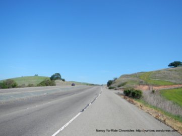
Ygnacio Valley Rd exits Walnut Creek on flat terrain and climbs up across Lime Ridge into Concord with fantastic valley views; it’s 0.8 mile with an average grade of 6.2%.
The road drops down from the ridge to the east end of Concord.
Crystyl Ranch Rd is a wide boulevard that goes up along the east side of Lime Ridge to the southern edge of the ridge; the road enters the residential neighborhoods around the private Crystyl Ranch Community in Concord. It’s a half mile ascent from the fire station to the ridge top.
The climb offers phenomenal views of Clayton Valley and Mt Diablo!
Crystyl Ranch Rd continues around the Concord neighborhoods followed by a descent on Rolling Wood Way to Pine Hollow Rd.
Head east on Pine Hollow Rd into the town of Clayton; take Mt Zion Rd and Clayton Rd to Old Downtown Clayton on Main St for a stop at The Grove.
Continue on Marsh Creek Rd and turn left on Center St towards the Oakhurst Country Club. Once you cross Clayton Rd, the road name changes to Oakhurst Dr as it goes along the golf course and country club neighborhoods.
Oakhurst Rd drops down towards Kirker Pass Rd and name changes to Concord Blvd into east Concord. The turn on Farm Bureau Rd takes us across the Willow Pass neighborhood along the community park and Pixieland Amusement Park on E Olivera Rd.
Turn right on Port Chicago Hwy; this road gently climbs up to the N Concord Martinez BART followed by a descent under Hwy 4 along the Diablo Creek Golf Course to Arnold Industrial Way.
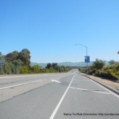
Head west on Arnold Industrial Way; this road is the designated SR4 Bikeway. It parallels Hwy 4 and takes you through the industrial areas from N Concord to Martinez.
The road name changes to Imhoff Rd as it crosses over the wetlands extending to Pacheco Creek to Blum Rd. Blum Rd takes you underneath I-680 onto Pacheco Blvd.
Head north on Pacheco Blvd and turn left for the climb up Arnold Dr to the top at Glacier Dr; it’s 0.7 mile with an average grade of 3.6%. The road winds up along the Contra Costa County offices and residential neighborhoods followed by a descent to Fig Tree Ln.
This urban ride will take you along the roads less traveled from Walnut Creek to Clayton and Concord to Martinez. You’ll enjoy the quiet climb up along Crystyl Ranch Rd and the phenomenal views of Clayton Valley, Mitchell Canyon and Mt Diablo’s North Peak and Eagle Peak!
Garmin Stats
34.64 Miles with 1788′ of elevation gain
Max elevation: 558′
Max grade: 9%
Terrain: Flat-rolling with a few low hills
Weather: Plenty of sunshine and blue skies. Temps ranged from the mid 50’s to the mid 70’s with NW winds.
View the interactive RGPS route map & profile
Follow this route for today’s ride:


