Monday, April 1, 2013
View the entire Google Web Album
Click here to watch a short video of today’s ride
I’m still on track for riding a Century/200k a week; today’s beautiful, rural and scenic century route follows SCOR’s 2013 course with a slight variation and detour around Vandenberg AFB. It’s a moderately challenging ride that is back loaded with climbing on the second half of the route.
We exit Kronborg Inn and head west on CA 246 into Buellton for a horseshoe ride out to the Avenue of Flags.
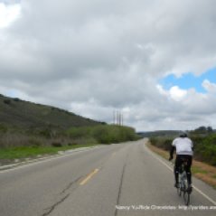
The 17 mile stretch on Santa Rosa Rd begins after crossing the dry Santa Ynez River. The early morning sun is making its way through the clouds and low lying fog and casting it’s glow over the hills.
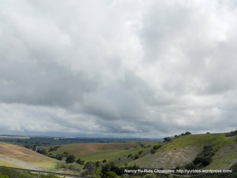
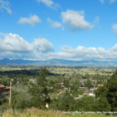
This quiet road takes you along scenic rolling hills through the valley with views of the Santa Rita Hills to the north and the Santa Rosa Hills to the south. This area is famous for the acres and acres of Pinot Noir vineyards of the Santa Rosa Hills. At the top of the hill, take some time to enjoy the breathtaking views of Santa Rita Valley!
The valley is also home to old orchards and fertile agricultural fields of vegetables such as lettuce and broccoli. The early morning air is scented with the sweet smell of spring onions! Much of the farmland is freshly plowed over for new plantings.
At the end of Santa Rosa Rd, we head north on CA-1 and drop into the city of Lompoc.
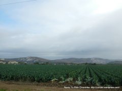
We take the city streets around Lompoc to the outskirts of town on W Ocean Ave/Hwy 246. The flat miles along W Ocean Ave goes through the agricultural heartland of Lompoc; freshly plowed fertile dark brown fields and vibrant green plantings of lettuce and artichokes.
The turn on 13th St leads us to the gated entrance of Vandenberg AFB. Mind you, I’m following the Solvang Century 2013 route and to my dismay discover that we are not allowed to go through. SCOR got a special permit to ride through the base for one day, I didn’t see that mentioned on their website at all! Fortunately for us, the soldier knows all the local roads, he ask if we want to go the most direct way to Santa Maria or take a more “scenic way”. Of course, we want the scenic way! I get my pen out and write down his directions on my route sheet. We have to turn around and retrace part of the route for a few miles to Floradale Ave. “Much thanks” to all the soldiers of the USA Armed Forces for keeping us safe and free!
The turn on Floradale heads north through the agricultural fields up to Santa Lucia Canyon Rd. We ride pass a huge gated Federal Correctional Institution and continue for a short climb up towards the SE entrance into Vandenberg AFB.
We continue on CA-1 north and take the soldier’s direction to take the first right turn pass a set of open gates; there is no signage at the turn but I do see the set of gates. We ride along this remote stretch of road with no traffic through a small neighborhood with a school. There’s also a huge fenced area for the storage of what looks like recycled concrete blocks of different sizes. The road ends at a set of closed gates so we pick up the bikes and cross over to the other side. We’re near the main entrance of Vandenberg AFB!
We continue north on CA-1 for a quick descent to San Antonio Rd W. I believe this is the “scenic” part of the soldier’s directions to us. This 2.5 mile stretch of road is part of Vandenberg’s military installation; we can hear the rapid firing of the semi-automatic weapons at the military training camp along this valley. Vandenberg AFB also has multiple active rocket and missile launch pads with several viewing locations.
Our next turn at W Lompoc Casmalia Rd takes us back on route for this century. The flat rolling terrain on this road ends with a short 680′ climb up Casmalia Hills and a fast descent into the town of Casmalia. Riding along this road, you can’t help but to notice the signs placed about every 200 yards stating that this area is a US Air force installation.
We continue on Black Rd for the next 5.7 miles and ride through open pastoral lands, horse farms, rolling hills and oil fields. Another shorter climb through the Casmalia Hills takes us up and over to Mahoney and Betteravia Rd into the town of Santa Maria.
The turn on Skywy Dr takes us pass the Santa Maria Public Airport and onto Orcutt Rd; this road parallels Orcutt Expy/CA-135. The next 5 miles on E Clark Ave takes us to the edge of town out to the vast agricultural fields and vineyards.
The route continues on Dominion Rd for the next 3.5 miles on a quiet back road through the valley east of Santa Maria. The soft golden hills sit in the foreground of the mountains in the far distance. Longhorns and cattle can be seen grazing the open meadows and hillsides.
The next turn on Palmer Rd takes us through the oil fields around the valley.
We continue on Foxen Canyon Rd for the next 20 miles; the first several flat miles meander through the many vineyards and farmlands along the beautiful valley.
As we head SE on Foxen Canyon, the flat rolling terrain through the valley offers fantastic views of the rolling hills, wineries and vineyards, grazing cattle and fields of light lavender colored wildflowers and purple lupines.
There is one half mile climb up to 1534′ followed by a fast descent through the Valley’s oldest wineries and vineyards best known as the Foxen Canyon Wine Trail. We stay on Foxen Canyon Rd south for another short 0.4 mile climb up Firestone Hill; take a moment to stop and enjoy the gorgeous views of the Valley. The flats on the other side of Foxen Canyon bring you to the end of the road at CA-154.
We cross CA-154 with caution and continue on Ballard Canyon Rd for a very short climb up and over the other side of the canyon. The remaining 4+ miles of rolling flat terrain on Ballard Canyon cuts through the hills and we continue south to Chalk Hill Rd.
We descend Chalk Hill Rd to Laurel and 5th St and take Mission Dr back to the Kronborg Inn in Solvang.
What a great way to spend a day; riding around the many quiet back roads of Santa Barbara County and enjoying the many gorgeous vistas up and around the hills!
We had dinner at Mother Hubbard’s Restaurant in Buellton; it’s your standard old school coffee shop with decent food. We shared a Mediterranean salad and a grilled chicken sandwich.
Garmin Stats:
111.34 Miles with 5344′ of elevation gain
Max elevation: 1203′
Avg grade: 3%
Max grade: 11%
Weather: WONDERFUL! Overcast and cloudy morning skies with lingering fog around the hills. Early morning temps started at 44F and the afternoon sun brought warmth and sunshine with temps reaching 77F. NW Winds
>>>>>>>>>>>>>>>>>>>>>>>>>>>>>>>>>>>>>>>>>>>>>>>>>>>>>>>>>>>>>>>>>>>>
You’ll never get the reward if you never put in the work.
>>>>>>>>>>>>>>>>>>>>>>>>>>>>>>>>>>>>>>>>>>>>>>>>>>>>>>>>>>>>>>>>>>>>
Click here to view the interactive map & profile
Follow this route for today’s ride:


