Thursday, August 16, 2018
View the entire Google Web Album
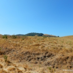
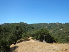
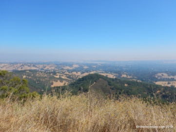
With its rolling, grassy hills and secluded, shady canyons, Briones is a secret wilderness surrounded by the towns of central Contra Costa County. Although the park is close to Lafayette, Walnut Creek, Pleasant Hill, Concord, and Martinez, there are peaks within it from which you can see only park and watershed lands for miles in every direction.*1
Begin this hike from the Old Briones Rd trailhead at the end of Briones Rd in Martinez. Take Old Briones Rd up to the cattle gate.
At the trail split, go left onto Spengler Trail towards the Maricich Lagoon to trail post #24.
At the lagoon, go right onto the single track trail along the perimeter fence line. The trail cuts across the open grassland towards a stock pond.
At the trail split, go left to stay on the single track trail along the next fence line, it leads you up to the next cattle gate.
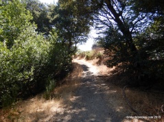
Go straight onto the unmarked No Name Trail, it gently winds up through the beautiful dense shaded oak/bay woodland.
At the trail split, go right and then straight across the unmarked trail junction, the trail winds through the woodland with a moderate climb.
At the next trail split, go left. The unmarked trail comes to a T junction at Table Top Trail.
Turn left onto Table Top, the trail drops down to trail post #53 with a glimpse of Mt Diablo in the background.
Go straight onto Spengler Trail, it continues downhill through the shaded woodland with gorgeous views of Diablo.
At the trail split, go right to stay on Spengler Trail, it winds around the hillside followed by a moderate climb up towards the ridge.
Enjoy the views!
At the T junction, turn right to stay on Spengler, it continues with a moderately steep climb along the ridge to trail post #56.
Turn right to stay on Table Top Trail, it continues along the rolling ridge up to the summit.
Enjoy the views!
Continue on Table Top to trail post #73, go straight onto Briones Crest trail to trail post #74.
Turn left onto Briones Crest Trail, it drops down through the woodland into the valley to trail post #72.
Turn right onto Valley Trail, it heads westward across the open valley to trail post #75 at Yerba Buena junction.
Go straight to stay on Valley Trail, it continues across the valley floor to the open cattle yard.
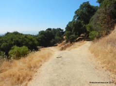
At the next trail junction, turn right onto Old Briones Rd, the broad fire road heads up from the valley to the top of the hill.
At trail post #22, go straight to stay on Old Briones Rd, it cuts across the grassland to trail post #23.
Go straight to stay on Old Briones, at the next trail split, go left, the trail leads back to the cattle gate at Old Briones Rd.
At this point, retrace your steps back to the parking area.
This is a wonderful hike around the northeast part of Briones Regional Park. You’ll enjoy the quiet roll through the gorgeous woodlands and the spectacular ridge top views!
*1 http://www.ebparks.org/parks/briones/
Stats:
7.4 Miles with 1409′ of elevation gain
Max elevation: 1423′
Time: 3.5 hours with one stop
Hike: Moderate-challenging with steep climbs
Parking: No fee at the end of Briones in Martinez
Water & pit toilet at Old Briones Rd trailhead
Dog-friendly
Weather: Sunny and warm. Temps ranged from the high 60’s to the high 70’s with SW winds.
EBCHG Directions: Route is Old Briones Road Trail, Maricich Lagoon single track trail, No Name Trail, left down Table Top Trail, at trail marker #53 continue straight onto Spengler Trail, at trail marker #56 go right on Table Top Trail stopping to rest/snack/enjoy the view at the bench at the summit. The hike turns left down Briones Crest Trail, at trail marker #72 turns right on Valley Trail, and right up Old Briones Road Trail following it all the way back to the cars.


