Wednesday, May 31, 2017
View the entire Google Web Album
Mount Diablo State Park is one of the ecological treasures of the San Francisco Bay Area. Every season in the park has its special qualities. Discover them for yourself, from the mountain’s 3,849-foot summit to its beautiful wildflowers, extensive trail system, fascinating wildlife, and distinctive rock formations.
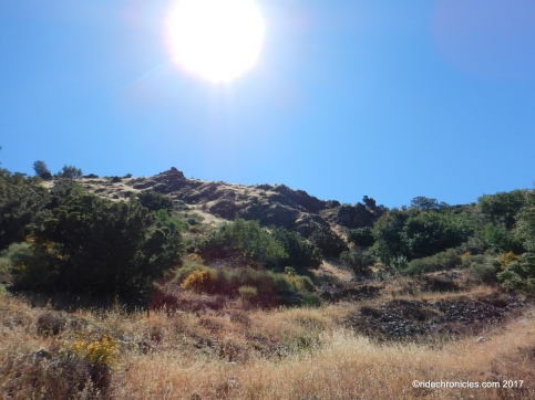
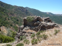
Mt. Olympia is one of the park’s prime destinations, a rugged outcrop with fantastic views of dizzying canyons, particularly with the mists of winter. The climbs on Olympia Trail and Mt Olympia Rd offers a sequence of gradually expanding views. The climax view, of course, is from the summit itself. *1
Begin this hike from the end of Mountaire Parkway in Clayton to the Regency Gate Trailhead at the north side of Mt Diablo.
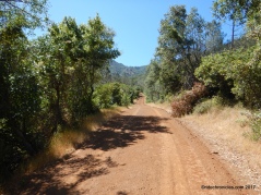
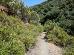
Stay on your left to Donner Canyon Rd; this fire road takes you across the lower oak-studded foothills along Donner Creek. The road winds gently winds through the woodlands with great views of Diablo’s peaks.
Stay on Donner Canyon Rd to Cardinet Oaks/Meridian Ridge Rd junction.
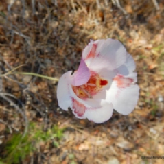
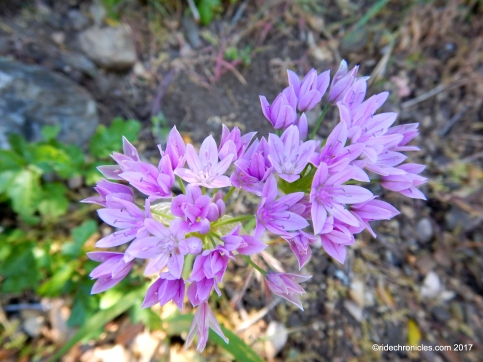
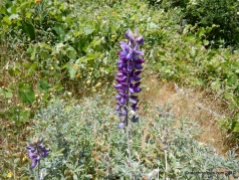
Wildflowers!
Go left on Cardinet Oaks Rd; it climbs up the mountain to the Falls Trail junction.
Wildflowers!
Stay on Cardinet Oaks, it continues climbing towards the park boundary to Olympia Trail.
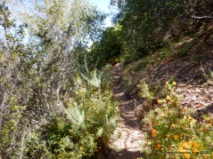
Turn right onto Olympia Trail, the single track winds up 0.8 miles through the scattered pines and rocky chaparral-covered slope to the next trail junction at Mt Olympia Rd.
Wildflowers!
At the unsigned trail junction, turn right onto Mt Olympia Rd. The broad fire road continues uphill around a few switchbacks to the Zippe Trail junction.
Wildflowers!
Go right to stay on Mt Olympia Rd, it steadily climbs 0.7 miles up the mountain with expanding views of the valley.
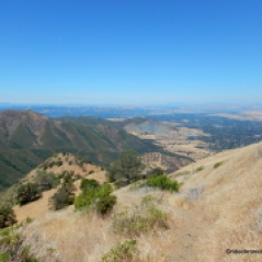
Enjoy the magnificent views!
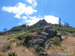
The road rounds the bend with a grand view of Mt Olympia in the background.
The fire road kicks up with a steep climb as it continues eastward across the mountain side towards the summit. Enjoy the wonderful mountain vistas!
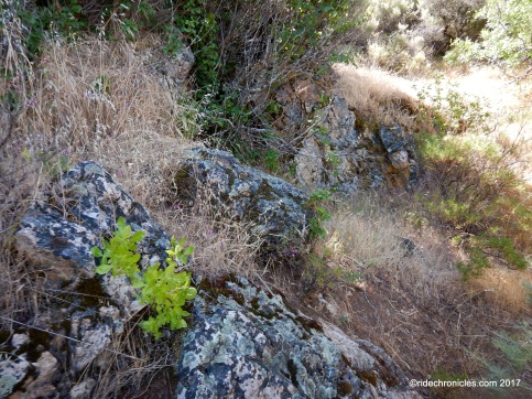
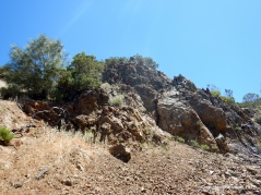
The road continues to climbs up on a single track along the rugged outcroppings to the East Trail junction.
Wildflowers!
Enjoy the gorgeous views!


At the junction, go right to stay on Mt Olympia Rd to the summit.
Arrive at Mt Olympia summit at 2946 feet.
Enjoy the spectacular summit panoramas!


Descend Mt Olympia to the North Peak Trail junction. Go straight onto North Peak Trail; the single track trail climbs 0.8 miles south along the rocky mountain slope through brush and woodland to 3297 feet at North Peak Rd.
Wildflowers!
Enjoy the superb vistas!
At North Peak Rd, turn right and head downhill to Prospectors Gap at 2955 feet.
Wildflowers!
Enjoy the glorious west views!
At Prospectors Gap, turn right and head north on Prospectors Gap Rd. It drops down the mountain on a steep gravelly road for the next 0.8 miles towards Middle Trail-use caution.
Wildflowers!
At Middle Trail junction, turn left to stay on Prospectors Gap Rd. The fire road continues westward with grand views of the mountain peaks and ridges.
Wildflowers!
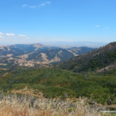
At the next trail split, go right onto Meridian Ridge Rd. The broad fire road travels northerly as it gently winds down along the open ridge with expanding views of the mountain ridges, canyons, and valley!
At the next junction, turn left onto Meridian Point Trail. The narrow single track cuts through dense brush as it winds down into the canyon towards Back Creek.
At Back Creek Trail junction, turn right onto Back Creek. The trail continues north through the lush riparian landscape along the creek.
The trail exits the woodland out across the open grassland.
At Murchio Rd junction, go straight to stay on Back Creek Trail to Donner Canyon Rd and Regency Gate.
This is a trip for those who enjoy an unlimited sky above and views into distant depths below. Mt. Olympia, itself is like a little throne, high above the encircling landscape, where you can sit and observe the puny world below you, and beyond, the great plains of the Central Valley. In wintertime, the mists rolling up from the depths of Donner Canyon put on a great show of landscape hide-and-seek. Be sure to sign the log attached to the Mt. Olympia Summit trail post!
*1 http://www.parks.ca.gov/pages/517/files/mtDiabloBrochure.pdf
Stats:
10.2 Miles with 3013′ of elevation gain
Max Elevation: 3306′
Time: 6 hours with multiple stops
Hike: Strenuous with steep climbs and descents
Parking: Free street parking at the end of Mountaire Parkway in Clayton.
No facilities & no water. Descend steep trail to the park gate below.
Bring water & food/snacks
NO DOGS ALLOWED
Weather: Sunny and warm. Temps ranging from the mid 60’s to high 70’s with SW winds
*The current edition “Mount Diablo Trail Map” is available for purchase at the park entrance stations, Summit Visitor Center and Mitchell Canyon Visitor Center in Mt. Diablo State Park. They are also available at selected retail map distribution stores such as REI and on-line at MDIA’s Store.
Directions: Regency Gate > S-Donner Canyon Rd > L-Cardinet Oaks Rd > R-Olympia Tr > R-Mt Olympia Rd > Mt Olympia > S-North Peak Tr > R-North Peak Rd > Prospector Gap > R-Prospectors Gap Rd > L-stay on Prospectors Gap Rd > R-Meridian Ridge Rd > L-Meridian Point Tr > R-Back Creek Tr > S-stay on Back Creek Tr > S-Donner Canyon Rd > Regency Gate




























Nancy, thanks for the beautiful pics of the great variety of flowers on Mt Diablo! Did you see any swallowtail butterflys at Mt Olympia? They seem to come up from the north side.
LikeLike
Oops! butterflies
LikeLike
Jim, Yes indeed, there were butterflies around the north side of the mountain! I was also pleasantly surprised to see the variety of wildflowers, it’s beautiful out there!
LikeLike