Friday, April 15, 2016
View the entire Google Web Album
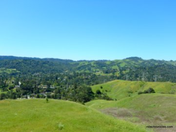
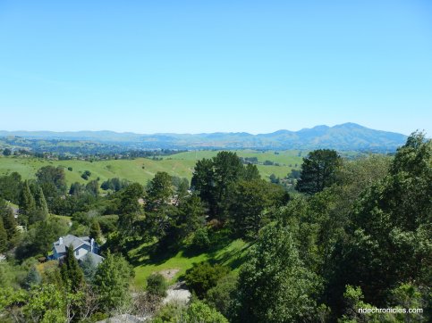
*Mulholland Ridge is a 250 acre open space area along Donald Drive on the boundary of Orinda and Moraga. The ridge is relatively high, offering breathtaking views on a clear day of the Moraga valley and the Diablo Range. It is a lovely, quiet trail that runs along the ridge of the Mulholland Ridge Open Space Preserve. (http://moragaparks.org/TrailsBooklet.pdf)
This semi-urban hilly ride goes up Donald Dr to Mulholland Ridge and drops down into Orinda for a roll through the country club neighbborhoods along Miner, Lombardy and Sundown Terrace to Happy Valley Rd. The route continues on Bear Creek Rd for the rolling climbs along the backside of Mama Bear. Take Alhambra Valley Rd for the climb up Pig Farm Hill before returning on Alhambra Ave and Vine Hill Way to Holiday Highlands.
Exit Holiday Highlands Park and make your way up Arnold Dr to Glacier and Center Ave to Vine Hill Way. Morello Ave leads you out of Martinez into Pleasant Hill onto Taylor Blvd.
Head south on Taylor Blvd; this busy main thoroughfare is a very utilitarian way to get from Pleasant Hill down into Lafayette with great pavement and wide shoulder areas. At Grayson Rd, Taylor Blvd gradually ascends with gentle grades of 3-5% before dropping down to the stop light at Withers Ave.
Taylor levels out for the next half mile plus towards the Pleasant Hill Rd interchange and kicks up to 7-10% grades for the 0.7 mile climb up to the traffic light at Rancho View Dr.
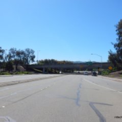
The road name changes to Pleasant Hill Rd on the descent into Lafayette to Olympic Blvd. Watch for traffic after Deer Hill Rd towards the Hwy 24 interchange to Mt Diablo Blvd-use caution!
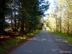
From Olympic Blvd, get onto the Lafayette/Moraga Regional Trail; this trail parallels St Mary’s Rd for 5.6 easy miles through Lafayette to Moraga Commons Park in Moraga.
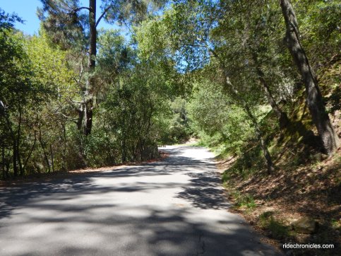
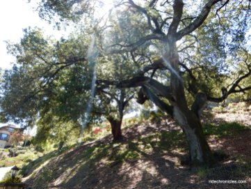
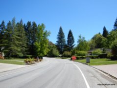
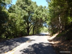
Moraga Rd leads to the turn onto Donald Dr; the road sits along the boundary of Orinda and Moraga. Donald Dr goes through a residential neighborhood before turning up towards Mulholland Ridge Open Space Preserve. The initial climb up to the closed gate goes up under a canopy of trees for 0.4 mile with an average grade of 6.4%.
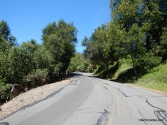
Before reaching the closed gate, get into your lowest gear for the steep climb up to the ridge; it’s 0.4 mile with gradient ranges of 12-16%!
The road levels out for a short section along the ridge; take a moment to look around and enjoy the views-you can see Mt Diablo!
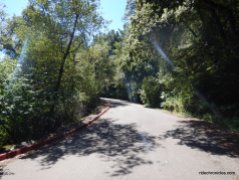
The Mulholland Ridge Trail gradually kicks back up to steep grades of 9-11% for the 0.4 mile up to the summit of Mulholland Hill at the Mulholland Reservoirs.
Stop at the picnic area and enjoy the breathtaking views of Moraga Valley and the mountains around Diablo Range!
Continue along Mulholland Ridge and descend Alice Dr to Zander Dr. Slow down and check out the animals & insects!
The rolling terrain on Zander drops down onto Rheem Blvd to Glorietta Blvd.
Head NW on Moraga Way towards Orinda BART; the road name changes to Camino Pablo as you cross under Hwy 24.
Turn right onto Miner Rd and continue north through the Orinda Country Club and the residential homes around the Sleepy Hollow neighborhoods on Lombardy Ln and Dalewood.
Cut through Dalewood Park for the short steep 9-12% climb on Sundown Terrace to Happy Valley Rd.
Continue north on Happy Valley Rd; the road tilts up for a short steep climb with 11-13% grades to the summit at Orinda View Rd.
Happy Valley Rd descends on a twisty narrow road to Bear Creek Rd.
Head north on Bear Creek Rd through Briones Hills for the series of small climbs and descents over the backside of Mama Bear. It’s 1.5 miles with gradient ranges of 5-9% up to the Lawson Hill summit.
The sling shot descent on Bear Creek Rd takes you through a horse ranching community and the Gan Shalom Jewish Cemetery to Alhambra Valley Rd.
Alhambra Valley Rd east begins with a gradual climb up along the valley vineyard with the olive grove and animal farm. The road continues through the valley and ranchland of JMB ranch to the base of Pig Farm Hill.
The climb up west Pig Farm Hill begins around the bend at JBL Ranch; it’s a steep half mile climb with gradient ranges of 13-15%!
East Pig Farm Hill quickly winds down around the canyon to the valley out to the junction at Reliez Valley Rd-stay on Alhambra Valley to Alhambra Ave.
Turn right on Alhambra Ave and take Vine Hill Way back to Center and Arnold Dr.
Mulholland Ridge is one of my favorite local places to ride out to-it’s never crowded and the views are spectacular! Hit the city roads and enjoy it for yourself!
Garmin Stats:
42.73 Miles with 3586′ of elevation gain
Max elevation: 1094′
Max grade: 16%
Terrain: Hilly with steep climbs
Weather: Sunny and warm. Temps ranged from the high 50’s to the mid 70’s with brisk NW winds.
View the interactive RGPS route map & profile
Follow this route for today’s ride:





















That’s a pretty area. Thanks Nancy. From Michael and Maydene
LikeLike
It’s urban but still quite scenic!
LikeLike