Monday, January 25, 2016
View the entire Google Web Album
*From the 1860s through the turn of the last century, five coal mining towns thrived in the Black Diamond area: Nortonville, Somersville, Stewartville, West Hartley and Judsonville. As the location of California’s largest coal mining operation, nearly four million tons of coal (“black diamonds”) were removed from the earth. The residents of the mining towns were from all over the world, and their life was characterized by hard work and long hours. Occasional celebrations and a variety of organizations and social activities served to alleviate the drudgery of daily existence.
This scenic hike around Black Diamond Mines Regional Preserve goes south along Stewartville Trail to Prospect Tunnel and Star Mine Group Camp. It continues to the top of the ridge on Star Mine Trail before descending through Oil Canyon for a climb up to the Overlook Area at Upper Oil Canyon. Descend into the valley to the Stewartville Backpack Camp before hitting the stiff climb on Corcoran Mine Trail to the top of the ridge. Return on Stewartville Trail to the parking lot. *The Preserve’s 65 miles of trails traverse areas of grassland, foothill woodland, mixed evergreen forest, chaparral, stream vegetation and exotic plantings.
Begin this hike from Black Diamond Mines-Frederickson Ln staging area in Antioch.
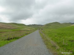
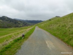
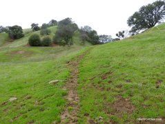
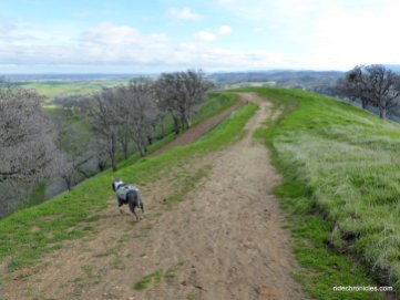
Enter through the trail gate and go straight onto Stewartville Trail; this broad gravel fire road head south on a gentle grade through the beautiful rolling hills along the east edge of the park.
Continue through the next trail gate-the trail winds up around the hill to Ridge Trail junction.
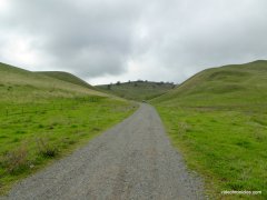
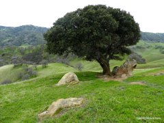
Go straight to stay on Stewartville; the gravel trail rounds the hill as it continues on level terrain into the gorgeous Lone Tree Valley.
The trail winds around the valley towards the Star Mine Group Camp junction.
At the junction-turn right onto the unsigned single track trail for the out & back segment to Prospect Tunnel. * Prospect Tunnel was driven in the 1860’s by miners in search of commercial-quality coal. Two hundred feet of the 400-foot tunnel are open for exploration. Bring a light.
Inside Prospect Tunnel.
Return to the trail junction and go straight onto Star Mine Trail; the trail cuts across Sand Creek to Star Mine Group Camp.
Continue on Star Mine Trail; it ascends through the hills for about half a mile towards Star Mine.
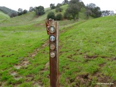
At the Star Mine post-turn right and follow the single track to Star Mine. *This barred tunnel once served as the entrance to the Star Mine, one of the last active coal mines in the area.
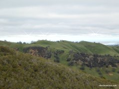
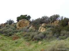
Get back onto Star Mine Trail; it travels southwards into a canyon area with massive sandstone walls and rock formations.
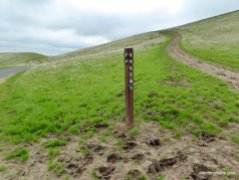
Star Mine Trail continues on a slight uphill through the mixed woodland to the park boundary junction at 660 feet.
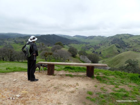
Turn right to stay on Star Mine Trail; it kicks up with a steep climb to the top of the ridge at the scenic bench overlook at 800 feet.
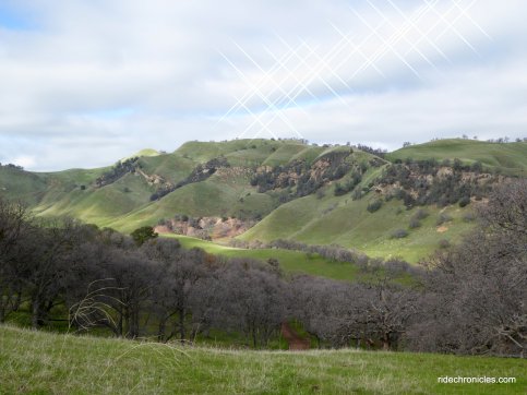
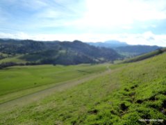
Enjoy the gorgeous valley views!
Descend the ridge to the ext trail junction-turn right to stay on Star Mine Trail. The single track winds its way down into the expansive valley floor.
Cross the cattle gate to Lower Oil Canyon Trail; go left onto the less traveled trail. It cuts across the pastoral land with grazing cattle dotting the valley.
At the park boundary junction-turn right to stay on Lower Oil Canyon Trail. Watch your footing-with the recent rains, the trail is very muddy!
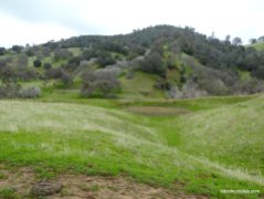
Lower Oil Canyon Trail travels SW along the scenic canyon with chaparral, oak and buckeye covered hills.
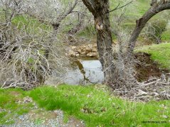
At Oil Canyon Trail junction-turn right onto Oil Canyon Trail. The single track goes uphill through riparian vegetation and mixed woodland.
The trail cuts through a section of aromatic sage brushes followed by a uphill stretch across the grassland to the top of a ridge.
At the Overlook junction-turn left onto Upper Oil Canyon Trail towards the Vista Overlook Area.
Enjoy the wonderful sandstone formations and chaparral covered hills!
Enjoy the stunning ridge top vistas!
Reverse your way back down on Upper Oil Canyon to Oil Canyon Trail junction.
Go straight to stay on Upper Oil Canyon Trail-the trail drops down through the dense woodland onto the beautiful valley floor.
Upper Oil Canyon Trail continues through the pastoral ranch land around Stewartville Backpack Camp.
At the Stewartville Trail junction-turn right onto Stewartville Trail; it turns eastward as it crosses the valley to the junction at Lower Oil Canyon Trail.
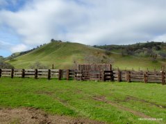
Go straight to stay on Stewartville Trail; it continues along the valley past the cattle corrals and water tanks to the next junction at Star Mine Trail.
Go straight to stay on Stewartville Trail; it crosses over Sand Creek to the next junction at Corcoran Trail.
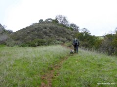
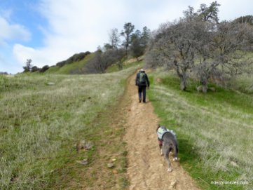
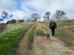
Turn left onto Corcoran Mine Trail-the trail kicks up with a steep climb from the valley floor up to the top of the ridge. It’s 0.76 mile with an elevation gain of 600 feet.
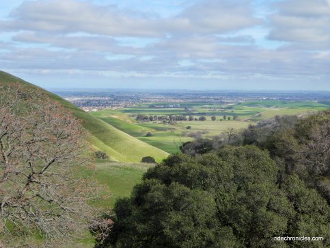
Look back and enjoy the glorious valley views!
Corcoran Mine Trail continues to climb up on rocky terrain past the sandstone formations towards the ridgeline.
The trail stays along the ridge before winding its way around the hills to a high point at Ridge Trail junction.
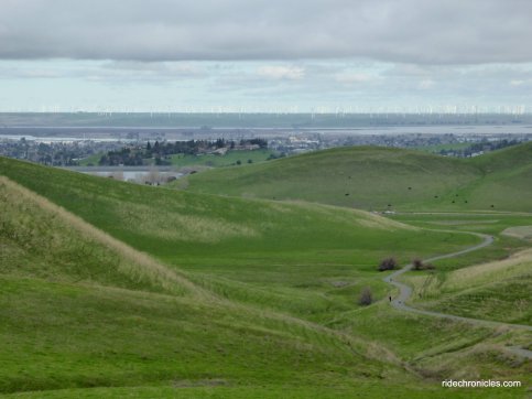
Turn right onto Ridge Trail-stop for a moment to take in the magnificent views of the waterways around the San Joaquin River and the rows of wind turbines around the Montezuma Hills in Rio Vista!
Ridge Trail takes you along the ridgeline with stunning valley vistas!
The trail continues with a short series of gentle ups and downs before reaching the Contra Loma Trail junction.
Go straight to stay on Ridge Trail-it drops down from the ridge with spectacular views of east Contra Costa and Lone Tree Valley!
At the Stewartville Trail junction-turn left onto Stewartville Trail and make your way back to the staging area parking lot.
This is a fantastic hike along the network of trails around Black Diamond Mines Regional Preserve. You’ll enjoy the mining features at Prospect Tunnel and Star Mine and the trek through the beautiful canyons and gorgeous expansive valleys! Bring a light to explore the tunnel and a change of shoes for the muddy winter hike.
*http://www.ebparks.org/parks/black_diamond#reach
Stats:
10.6 Miles with 2106′ of elevation gain
Max elevation: 1171′
Time: 4.5-5 hours with a few stops
Hike: Challenging with steep climbs
Parking: Free parking at Contra Loma Regional Park/Black Diamond Regional Preserve staging area at the end of Frederickson Ln in Antioch.
NO FACILITIES-Plan accordingly
Dog Friendly-watch for free roaming cattle grazing areas
Bring water & food/snacks-NO WATER along the trails
Weather: Overcast gray skies with some afternoon sun. Cool temps ranging from the high 40’s to the high 50’s with NW winds.
















































That is quite a beautiful area, Seeya, From Michael and Maydene !
LikeLike
I just read that Prospect Road is “haunted” and m planning a trip here, thanx for the awesome write up, it will help a lot!
LikeLike
Michael, Yes indeed, the area is gorgeous and it’s right in my backyard!
LikeLike
You’re welcome! Bring a light to explore Prospect Tunnel-Chico would love running around the preserve!
LikeLike