Saturday, November 14 ,2015
View the entire Google Web Album
Tour the Sacramento Delta from Isleton to the Cosumnes River Preserve in search of Sandhill Cranes and other migratory birds. This ride includes a stop at Locke; a National Historic Landmark.
Begin this ride on Main St from the small town of Isleton. *The charming town of Isleton, California (population 840), is located along the Sacramento River in the California Delta. The Delta is a land of rivers, agriculture, boating, fishing, and rich history. Gone are the days, but not forgotten. Remnants of a bygone era are what remain of Isleton today. Although time has diminished the population to a short few, the antiquity of what was still remains. Chinatown, and the many façade front buildings, still remains intact. The very appeal of a bygone era still reminds residents and visitors of what was once referred to as “the Little Paris of the Delta.”
Exit town onto River Rd/Hwy 160 to Tyler Island Bridge Rd; this road goes through a residential neighborhood at Fertile Acres to the Tyler Island drawbridge across Georgiana Slough.
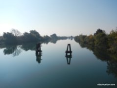
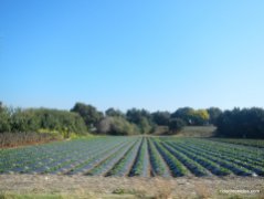
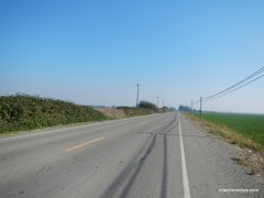
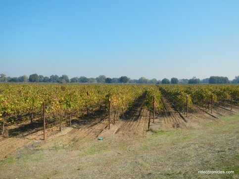
Cross the bridge onto Tyler Bridge Rd; the 4.7 miles on this winding flat levee road follows along Georgiana Slough through the open agricultural farmlands and vineyards with sandhill crane sightings.
Head north on Race Track Rd; this road runs between the open fields around Georgiana Slough and the Sacramento-San Joaquin River. It continues through the nut orchards and farms out to Walnut Grove-Thornton Rd.
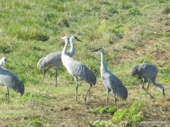
Sandhill cranes flying overhead!
Walnut Grove-Thornton Rd goes along the outskirts of Walnut Grove through the industrial packing houses and vineyards to the Sacramento-San Joaquin River crossing on the Thornton Rd drawbridge.
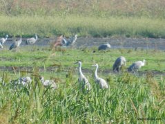
Head south on Staten Island Rd. **Cranes and other migratory birds are attracted to the flooded crop lands on Staten Island. Quite often, thousands of birds can be seen flying over the island during the fall, winter and spring. Look for tundra swans, white fronted geese, as well as sandhill cranes.
Swoop of Sandhill Cranes can be seen and heard from the reeds around the crop lands-WOW!
Further down the road, there are squadrons of Cackling Geese out around the open fields-WOW!
More Sandhill Cranes!
Turn around at the point where the paved road transitions to gravel at approximately 2.2 miles in; on the way out.
Sandhill Cranes in flight!
Continue east on Walnut Grove Rd through the farmlands and vineyards to Thornton.
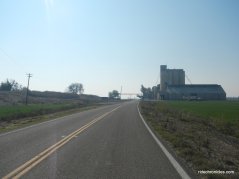
Thornton Rd takes you through a residential area with old farmhouses, ranches and barns, it continues north through the many orchards and vineyards towards Franklin Blvd.
Cross the bridge over Mokelumne River on Franklin Blvd to a lunch stop at the Consumnes River Preserve Visitor Center. ***The Preserve is centered along the Cosumnes River, its floodplains and riparian habitat. This habitat is buffered by a variety of agricultural operations. The Preserve provides numerous social, economic, and recreational benefits to local communities and to people residing in the larger Sacramento and San Joaquin areas. The habitat supports wildlife, including birds that migrate throughout the Pacific Flyway.
Continue on Franklin Blvd with views of the wetland and marshes around Cosumnes River Preserve.
Cross the RR tracks onto Desmond Rd; this is another great area for viewing wildlife.
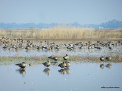
There are gaggles of geese out around the low lying marshes.
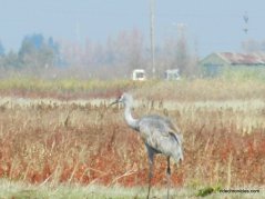
Sandhill Cranes!
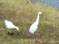
Egrets!
Bruceville Rd runs along the east edge of the marshlands to Twin Cities Rd.
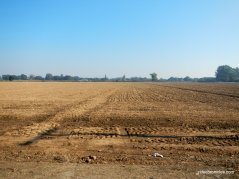
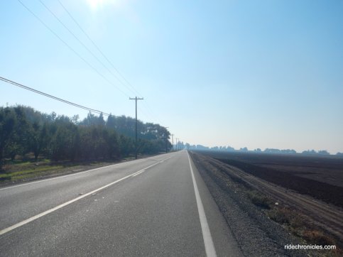
Twin Cities Rd travels westward through the vast expansive agricultural and pastoral lands around the delta. Acres and acres of vineyards sit alongside fields of solar panels with grazing cattle nearby.
Cross the bridge over Snodgrass Slough and continue along the flats to River Rd.
River Rd runs alongside the Sacramento River towards Locke; a Chinese community listed as a National Historic District. ***On August 2, 1970, Locke was added to the registry of national historical places, by the Sacramento County Historical Society, because of its unique status as the only town in the United States built exclusively by the Chinese for the Chinese.
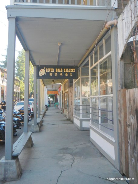
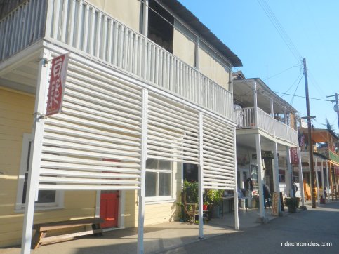
Take Locke Rd into the town of Locke. ****Locke was founded in 1915 after a fire broke out in the Chinese section of nearby Walnut Grove. The Chinese who lived in that area decided that it was time to establish a town of their own. A committee of Chinese merchants, led by Lee Bing, Chan Hing Sai, Tom Wai, Chan Dai Kee, Ng So Hat, Chan Wai Lum, Chow Hou Bun, and Suen Dat Suin was formed. They approached land owner George Locke and inquired if they could build on his land. An agreement was reached. The town was laid out by Chinese architects and industrious building ensued. The founding of Lockeport, later ‘Locke’, was a reality. By 1920 Locke stood essentially as you see it now.
Turn right onto Main St. ***Levee construction originally brought the Chinese to this area, but by the time Locke was built most of the work was in farm labor. Locke had many businesses that catered to the farm workers and residents of this region. In the 1940’s restaurants, bakeries, herb shops, fish markets, gambling halls, boarding houses, brothels, grocery stores, a school, clothing stores, and the Star Theatre lined the bustling streets of Locke. At its peak 600 residents, and as many as 1500 people occupied the town of Locke.
Photo display from the book ” Bitter Melon“.
Exit Locke on Levee Rd and stay on River Rd to Walnut Grove.
Cross the green Walnut Grove Bridge over the Sacramento River to River Rd/Hwy 160 to the town of Ryde.
Head west on CA-220; the road travels along the flat lands and waterways through the orchards and vineyards to Grand Island Rd.
Grand Island Rd is a winding levee road that runs SW along Steamboat Slough with miles and miles of grand views of the surrounding rich farmlands, cattle ranches, vineyards and orchards.
The road turns east and follows the Sacramento River towards the yellow Isleton Bridge.
Cross the bridge and take River Rd/Hwy 160 back to Isleton.
This is a fabulous seasonal ride out around the Delta to view Sandhill Cranes and other migratory birds around Staten Island and Cosumnes River Preserve! You’ll enjoy all the nature watching and the scenic roll along the Sacramento River and it’s inner sloughs and marshlands!
*http://www.isletonchamber.com/
**http://www.cosumnes.org/wp-content/uploads/2014/01/2012-Crane-Viewing-Sites.pdf
***http://www.cosumnes.org/about-the-preserve/
****http://www.locketown.com/
Garmin Stats:
48 Miles with 341′ of elevation gain
Max elevation: 135′
Max grade: 5%
Terrain: Flat
Weather: Sunny and cool with clear blue skies. Temps ranged from the high 40’s to the mid 60’s with SE>SW winds.
View the interactive RGPS route map & profile
Follow this route for today’s ride:




































What a great ride and a beautiful post to share, thanks Nancy! You rode on what looks like such a gorgeous day! I love the delta…grew up on Bethel Island.
LikeLike
Thanks Sara! I enjoy riding around islands on the flat winding levee roads, seeing sandhill cranes is icing on the cake! Have a wonderful Thanksgiving holiday!
LikeLike