Saturday, September 19, 2015
View the entire Google Web Album
This ride goes along Sycamore Valley for a jaunt around the “burbs” on Bollinger Canyon and Wndemere Pkwy before rolling out to the country back roads. It continues north on Camino Tassajara and head east towards Livermore Valley for a scenic quiet run along Highland and Manning Rd to Morgan Territory Rd. The steep climb up S Morgan Territory Rd leads to a stop at Morgan Territory Preserve. Head west on Camino Tassajara and roll back along Sycamore Valley to Osage Station Park.
Exit Osage Station Park, turn right on Brookside Dr and meander through the residential neighborhood to Sycamore Valley Rd.
Turn right and head east through the residential neighborhoods out along Sycamore Valley Rd and Camino Tassajara. The flat miles goes pass the golden hills of Sycamore Valley Open Space and the displays of trees, plants and flowers at the Tassajara Nursery to Crow Canyon Rd.
The turn on Crow Canyon Rd takes you SE to the urban subdivisions at Gale Ranch on Dougherty Rd and Bollinger Canyon Rd with its wide shoulders and smooth pavement to Windemere Pkwy.
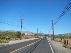
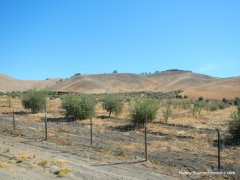
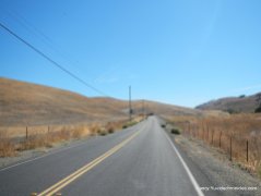
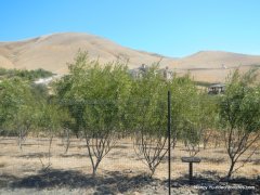
Descend Windemere Pkwy and head north on Camino Tassajara Rd; this 2 mile section of road has a decent amount of traffic with no shoulder area. The surrounding pastoral area is home to multiple horse ranches, cattle farms and olive groves.
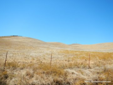
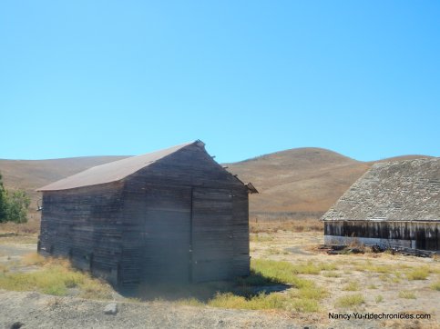
The turn on Highland Rd travels east on gentle rolling terrain through “horse country” with boarding ranches and training facilities. The beautiful hills are dotted with grazing cattle and scattered barns.
At the Y intersection, stay on Highland for the short climb up and over into the valley to Manning Rd. Grazing cattle and horses dot this beautiful idyllic country landscape.
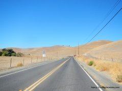
The flat terrain on Manning leads to S Morgan Territory Rd.
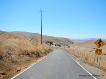
S Morgan Territory Rd rolls along on flat terrain for the first 0.7 mile through a ranching community out to the Contra Costa County Line.
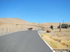
The two lane road becomes a narrow single lane as winds up from the valley floor to the ridge top at Morgan Territory Regional Preserve. The climb is 4.4 miles with gradient ranges of 6-16%.
S Morgan Territory Rd to the Double Tree Ranch Community at Double Tree Ln (5-8% grades):
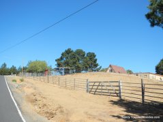
Climb from Double Tree Ln up through the scattered country homes and trees to the double white fence gates at mile 21.4 (6-9% grades):
Mile 21.4 up to the hard left bend at mile 21.7 is the steepest section of S Morgan Territory Rd (12-16% grades!):
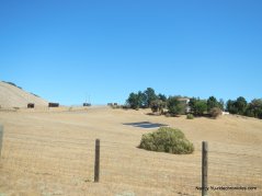
S Morgan Territory Rd continues along the back ridge line up towards the hilltop ranch houses (8-11% grades):
Phenomenal valley views!
The road continues to climb up through the ranch homes to the top of the ridge (8-12% grades):
S Morgan Territory levels out for a bit before tilting up for a short climb to the summit followed by a roll down to Morgan Territory Regional Preserve (4-6% grades):
Stop at Morgan Territory Regional Preserve:
Exit Morgan Territory Regional Preserve and retrace route back along S Morgan Territory for the narrow twisting descent back down to Manning Rd. Use caution-the steep drops takes you around many blind curves, watch for oncoming vehicles!
Turn right on Manning Rd; the flat terrain leads you back through the valley towards Highland Rd. Go straight and stay on Manning Rd to Carneal Rd.
Carneal Rd cuts across the open valley to the T junction at Collier Canyon Rd.
Collier Canyon climbs gently for about a mile with grades of 2-4.5% up to the old water tower and windmill. The fast descent drops back onto Highland Rd.
At Highland Rd, reverse your way back out to Camino Tassjara. Return through Camino Tassajara pass the equine boarding and training facilities and open pastoral fields below the contoured hills to the suburban neighborhoods around Blackhawk.
Stay on Sycamore Valley Rd and take Brookside back to Osage Station Park.
This ride out to the country takes you on a warm-up stretch through the “burbs” before tackling the steep ascent on S Morgan Territory Rd. Take your time going up and look around to enjoy the spectacular Livermore Valley views! Another note: the road has full sun exposure-doing this climb on a HOT day is not recommended-plan accordingly!
Garmin Stats:
45.54 Miles with 2818′ of elevation gain
Max elevation: 2062′
Max grade: 16%
Terrain: Flat-rolling with one extremely steep climb
Weather: Sunny, hot and breezy. Temps ranged from the mid 60’s to the mid 90’s with NW winds.
View the interactive RGPS route map & profile
Follow this route for today’s ride:
























Wow Nancy ! Now that’s a ride you would want company on. Without your guidance mapping [ Knowing which way to turn ] it would be very easy to get caught riding back to the starting point in the dark. But, we’ll put it in the ” Rides-to-do file ” and go from there. Thanks again, from Michael and Maydene !
LikeLike
The climb up S Morgan Territory is well worth the effort-the valley views are amazing! Tandem friendly-not really….
It’s much easier going up the north side. You guys will have plenty of rides to do when you’re out this way! Happy Autumn!
LikeLike