Tuesday, November 25, 2014
View the entire Google Web Album
This ride goes through “the hole in the fence”; a scenic detour through the small private Diablo community around Diablo Country Club for the climb up South Gate Rd to the summit of Mt Diablo at 3849 feet.
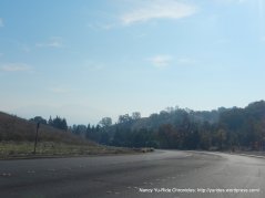
Take standard way out of Martinez on Arnold, Glacier and Center to Vine Hill, Morello and Taylor Blvd:
Contra Costa Canal Trail from Pleasant Hill to Iron Horse Trail in Walnut Creek:
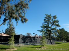
Begin slight variation to Diablo Rd; meander through Walnut Creek on Rudgear Rd to Lavender Dr and Livorna Rd with a stop at the Livorna Park off Miranda Dr:
Continue on Miranda Dr to Round Hill Country Club neighborhoods on Roundhill Rd and Roundhill Dr in Alamo:
Stone Valley Rd to Green Valley onto the multi-use path along Diablo Rd to Calle Arroyo:
Calle Arroyo is a private road that goes along the Diablo estate homes around the golfing greens at Diablo Country Club.
The turn onto Alameda Diablo leads us through the upscale neighborhood to the “hole in the fence”. To keep in harmony with bicyclists, the Diablo community has kindly posted signs along the road to remind cyclists to “obey the laws and respect the community”.
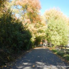
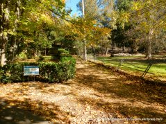
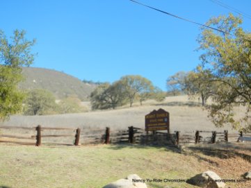
The dirt path leads up to the open fence area onto Mt Diablo Scenic Dr to Mt Diablo State Park South Gate Entrance on South Gate Rd.
The climb on South Gate Rd to the Junction Ranger Station is 5.8 miles with an average grade of 4.6%. Enjoy the spectacular vistas as you wind your way up along the south side of the mountain!
South Gate Rd to the 1000′ elevation sign:
The road continues to snake its way up the side of the mountain:
South Gate Rd eases up to the South Gate Kiosk Station:
The road levels out for a short section followed by a descent to Rock City:
Rock City climb to Curry Point:
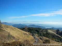
Curry Point to the open ridge-enjoy the views!
Open ridge climb at 2000′ elevation to the Junction Ranger Station:
Summit Rd up to Mt Diablo summit is 4.5 miles with an average grade of 7%. Summit Rd to Livermore Valley Overlook:
Livermore Valley Overlook to Toyon Picnic Area:
Steep 9-11% climb from Toyon Picnic Area to Grapevine Picnic Area:
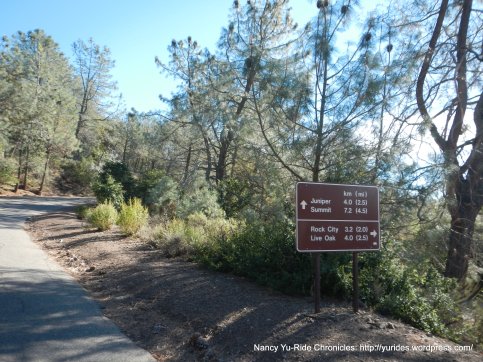
The road eases up from Grapevine Picnic Area to Juniper-Diablo Valley Overlook:
Juniper to Devils Elbow:
Devils Elbow to summit lower parking lot:
Steep 13-17% climb up “the wall’ to Mt Diablo Summit. No winds at the summit with a temperature inversion-it’s in the low 70’s-Fantastic!
Enjoy the summit views!
Descend Summit Rd to North Gate Rd:
Ride along Walnut Ave and take bike route through the neighborhoods to Heather Farm Park on San Carlos Dr:
Return along the Contra Costa Canal Trail to Taylor Blvd & Morello Ave:
Continue on Contra Costa Canal Trail to Center Ave in Martinez:
Center Ave to Sequoia Dr; cross over Hwy 4 on Glacier Dr and return on Arnold & Fig Tree Ln to Holiday Highlands Park:
Climbing up to the summit of Mt Diablo is one of my favorite local rides! It’s right in my backyard and easily accessible via the Canal and Iron Horse Trails from Martinez. You get to know every curve of the mountain and know what to expect; it’s like visiting an old friend with a warm smile!
Garmin Stats:
54.02 Miles with 4672′ of elevation gain
Max elevation: 3791′
Max grade: 17%
Terrain: Extremely Hilly
Weather: Sunny and cool with temps ranging from the low 50’s to the low 70’s. NW winds with 67% humidity.
View the interactive RGPS route map & profile
Follow this route for today’s ride:














Beautiful, spectacular, satisfying. Are you riding out of Martinez now?
LikeLike
Tony, Yes, we’ve been out this way for the past 2 years-it’s great! happy Holidays! Nancy
LikeLike